Earthquake NORTH OF HALMAHERA, INDONESIA
Thu, 13 Dec 2018 02:14:35 GMT
Time7 years ago
Location
3.2900, 128.0900
Depth
22.0 KM
Event Summary
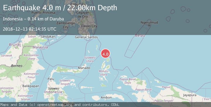
A 4.0 magnitude earthquake struck on NORTH OF HALMAHERA, INDONESIA, at Thu, 13 Dec 2018 02:14:35 GMT. Depth: 22km. Reviewed by DJA seismologists, this light quake occurred at a magnitude type of m.
Magnitude
4.0
m
Source
DJA
Intensity
-
Agency Reports
1 Sources| Source | Magnitude | Depth | Time |
|---|---|---|---|
| DJAPrimary | 4.0 | 22 km | 7 years ago |
Earthquake Details
AutomaticEvent IDemsc_DJA_20181213_0000081
Tsunami PotentialNo
Magnitude Typem
Nearest Places
- Morotai Basin33.8 km
- Pulau Karis65.5 km
- Snellius Ridge79.6 km
- Tanjung Padangi87.8 km
- Tanjung Berri Berri88.4 km
Comments
Join the discussion about this event.
Latest Earthquakes
1.9Mag
western Texas
Time6 minutes ago
Depth0.24 km
SourceVYT (Automatic)
2.2Mag
western Texas
Time9 minutes ago
Depth0.24 km
SourceVYT (Automatic)
2.2Mag
Valparaiso, Chile
Time10 minutes ago
Depth22.83 km
SourceVYT (Automatic)
4.5Mag
Central Alaska
Time11 minutes ago
Depth7.81 km
SourceVYT (Automatic)
1.9Mag
1 km SSW of Pāhala, Hawaii
Time15 minutes ago
Depth28.47 km
SourceUSGS (Automatic)
Nearby Earthquakes
5.0Mag
NORTH OF HALMAHERA, INDONESIA
Time13 years ago
Depth71.00 km
SourceEMSC (Automatic)
3.4Mag
NORTH OF HALMAHERA, INDONESIA
Time1 month ago
Depth10.00 km
SourceBMKG (Automatic)
4.0Mag
NORTH OF HALMAHERA, INDONESIA
Time5 years ago
Depth152.00 km
SourceDJA (Automatic)
6.3Mag
NORTH OF HALMAHERA, INDONESIA
Time2 years ago
Depth95.00 km
SourceEMSC (Automatic)
4.0Mag
NORTH OF HALMAHERA, INDONESIA
Time6 years ago
Depth147.00 km
SourceDJA (Automatic)