Earthquake MOLUCCA SEA
Mon, 17 Dec 2018 23:00:14 GMT
Time7 years ago
Location
-0.3600, 126.0500
Depth
47.0 KM
Event Summary
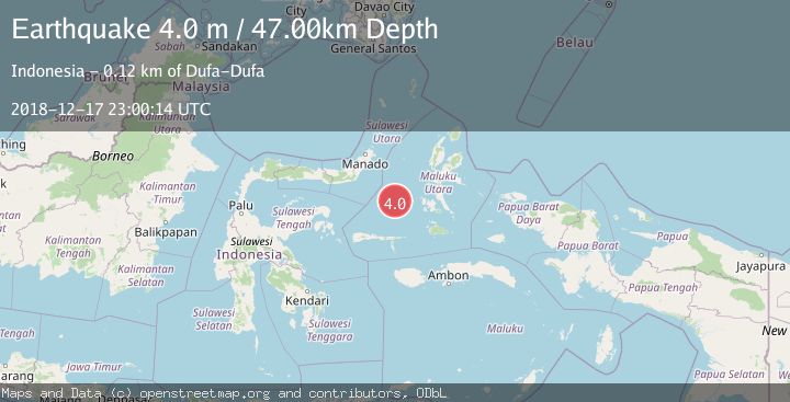
A 4.0 magnitude earthquake struck on MOLUCCA SEA, at Mon, 17 Dec 2018 23:00:14 GMT. Depth: 47km. Reviewed by DJA seismologists, this light quake occurred at a magnitude type of m.
Magnitude
4.0
m
Source
DJA
Intensity
-
Agency Reports
1 Sources| Source | Magnitude | Depth | Time |
|---|---|---|---|
| DJAPrimary | 4.0 | 47 km | 7 years ago |
Earthquake Details
AutomaticEvent IDemsc_DJA_20181217_0000110
Tsunami PotentialNo
Magnitude Typem
Nearest Places
- Maluku Sea95.8 km
- Batjan Basin105.5 km
- Pulau Sarangburung108.4 km
- Tanjung Sarangburung108.5 km
- Tanjung Hogomaridobo108.9 km
Comments
Join the discussion about this event.
Latest Earthquakes
1.7Mag
Kenai Peninsula, Alaska
Time2 hours ago
Depth28.44 km
SourceVYT (Automatic)
1.7Mag
Tarapaca, Chile
Time2 hours ago
Depth6.47 km
SourceVYT (Automatic)
1.9Mag
Central Alaska
Time2 hours ago
Depth81.18 km
SourceVYT (Automatic)
1.2Mag
21 km ENE of Little Lake, CA
Time2 hours ago
Depth0.90 km
SourceUSGS (Automatic)
2.6Mag
ANTOFAGASTA, CHILE
Time2 hours ago
Depth101.50 km
SourceCSN (Automatic)
Nearby Earthquakes
5.1Mag
MOLUCCA SEA
Time6 years ago
Depth55.00 km
SourceEMSC (Automatic)
5.0Mag
MOLUCCA SEA
Time18 years ago
Depth35.00 km
SourceEMSC (Automatic)
5.0Mag
MOLUCCA SEA
Time18 years ago
Depth40.00 km
SourceEMSC (Automatic)
4.0Mag
MOLUCCA SEA
Time4 years ago
Depth10.00 km
SourceDJA (Automatic)
4.0Mag
MOLUCCA SEA
Time4 years ago
Depth10.00 km
SourceDJA (Automatic)