Earthquake MOLUCCA SEA
Fri, 19 Feb 2021 19:19:26 GMT
Time5 years ago
Location
-0.5300, 125.9600
Depth
10.0 KM
Event Summary
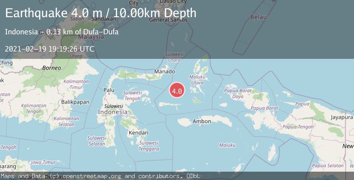
A 4.0 magnitude earthquake struck on MOLUCCA SEA, at Fri, 19 Feb 2021 19:19:26 GMT. Depth: 10km. Reviewed by DJA seismologists, this light quake occurred at a magnitude type of m.
Magnitude
4.0
m
Source
DJA
Intensity
-
Agency Reports
1 Sources| Source | Magnitude | Depth | Time |
|---|---|---|---|
| DJAPrimary | 4.0 | 10 km | 5 years ago |
Earthquake Details
AutomaticEvent IDemsc_DJA_20210219_0000206
Tsunami PotentialNo
Magnitude Typem
Nearest Places
- Batjan Basin102.2 km
- Maluku Sea114.6 km
- Mangole Basin115.6 km
- Pulau Sarangburung121.7 km
- Tanjung Sarangburung121.7 km
Comments
Join the discussion about this event.
Latest Earthquakes
1.0Mag
Southeastern Alaska
Time3 minutes ago
Depth0.00 km
SourceVYT (Automatic)
3.5Mag
COOK STRAIT, NEW ZEALAND
Time4 minutes ago
Depth75.30 km
SourceGNS (Automatic)
2.4Mag
Seram, Indonesia
Time6 minutes ago
Depth18.42 km
SourceBMKG
2.6Mag
West Papua Region, Indonesia
Time9 minutes ago
Depth17.35 km
SourceBMKG
2.8Mag
Antofagasta, Chile
Time12 minutes ago
Depth0.00 km
SourceVYT (Automatic)
Nearby Earthquakes
5.4Mag
MOLUCCA SEA
Time1 year ago
Depth45.10 km
SourceEMSC (Automatic)
4.0Mag
MOLUCCA SEA
Time4 years ago
Depth10.00 km
SourceDJA (Automatic)
5.1Mag
MOLUCCA SEA
Time6 years ago
Depth55.00 km
SourceEMSC (Automatic)
5.0Mag
MOLUCCA SEA
Time18 years ago
Depth40.00 km
SourceEMSC (Automatic)
4.0Mag
MOLUCCA SEA
Time7 years ago
Depth47.00 km
SourceDJA (Automatic)