Earthquake NEAR S COAST OF PAPUA, INDONESIA
Mon, 15 Feb 2021 10:16:18 GMT
Time5 years ago
Location
-4.2000, 133.5700
Depth
10.0 KM
Event Summary
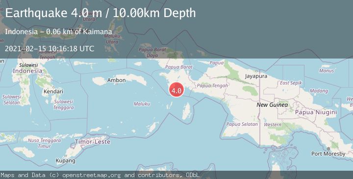
A 4.0 magnitude earthquake struck on NEAR S COAST OF PAPUA, INDONESIA, at Mon, 15 Feb 2021 10:16:18 GMT. Depth: 10km. Reviewed by DJA seismologists, this light quake occurred at a magnitude type of m.
Magnitude
4.0
m
Source
DJA
Intensity
-
Agency Reports
1 Sources| Source | Magnitude | Depth | Time |
|---|---|---|---|
| DJAPrimary | 4.0 | 10 km | 5 years ago |
Earthquake Details
AutomaticEvent IDemsc_DJA_20210215_0000083
Tsunami PotentialNo
Magnitude Typem
Nearest Places
- Tanjung Watukebo8.1 km
- Kampung Adi Jaya10.4 km
- Manggawitu11.8 km
- Pulau Adi15.3 km
- Pulau Tumbutumbu15.8 km
Comments
Join the discussion about this event.
Latest Earthquakes
2.0Mag
Kenai Peninsula, Alaska
Time2 minutes ago
Depth72.27 km
SourceVYT (Automatic)
2.0Mag
Central Alaska
Time6 minutes ago
Depth216.92 km
SourceVYT (Automatic)
1.8Mag
Region Metropolitana, Chile
Time10 minutes ago
Depth14.89 km
SourceVYT (Automatic)
5.0Mag
Kepulauan Aru region, Indonesia
Time10 minutes ago
Depth0.00 km
SourceVYT (Automatic)
2.5Mag
Poland
Time10 minutes ago
Depth0.24 km
SourceVYT (Automatic)
Nearby Earthquakes
3.0Mag
NEAR S COAST OF PAPUA, INDONESIA
Time4 years ago
Depth10.00 km
SourceDJA (Automatic)
3.0Mag
NEAR S COAST OF PAPUA, INDONESIA
Time2 months ago
Depth10.00 km
SourceBMKG (Automatic)
4.0Mag
NEAR S COAST OF PAPUA, INDONESIA
Time2 years ago
Depth10.00 km
SourceBMKG (Automatic)
5.2Mag
NEAR S COAST OF PAPUA, INDONESIA
Time11 years ago
Depth10.00 km
SourceEMSC (Automatic)
3.0Mag
NEAR S COAST OF PAPUA, INDONESIA
Time5 months ago
Depth10.00 km
SourceBMKG (Automatic)