Earthquake MOLUCCA SEA
Mon, 16 Aug 2021 21:05:40 GMT
Time4 years ago
Location
1.3300, 126.9200
Depth
32.0 KM
Event Summary
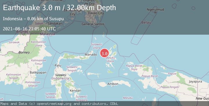
A 3.0 magnitude earthquake struck on MOLUCCA SEA, at Mon, 16 Aug 2021 21:05:40 GMT. Depth: 32km. Reviewed by DJA seismologists, this minor quake occurred at a magnitude type of m.
Magnitude
3.0
m
Source
DJA
Intensity
-
Agency Reports
1 Sources| Source | Magnitude | Depth | Time |
|---|---|---|---|
| DJAPrimary | 3.0 | 32 km | 4 years ago |
Earthquake Details
AutomaticEvent IDemsc_DJA_20210816_0000192
Tsunami PotentialNo
Magnitude Typem
Nearest Places
- Nyi27.6 km
- Tanjung Gammadehe55.3 km
- Tanjung Roromadehe55.5 km
- Peot56.1 km
- Tanjung Hafo56.2 km
Comments
Join the discussion about this event.
Latest Earthquakes
1.4Mag
EASTERN TURKEY
Time9 minutes ago
Depth6.80 km
SourceAFAD (Automatic)
1.9Mag
6 km SW of Fuig, Puerto Rico
Time10 minutes ago
Depth13.76 km
SourceUSGS
1.7Mag
northern Alaska
Time10 minutes ago
Depth4.64 km
SourceVYT (Automatic)
1.2Mag
5 km WNW of The Geysers, CA
Time16 minutes ago
Depth3.19 km
SourceUSGS (Automatic)
3.4Mag
Sulawesi, Indonesia
Time19 minutes ago
Depth27.95 km
SourceVYT (Automatic)
Nearby Earthquakes
3.3Mag
MOLUCCA SEA
Time1 month ago
Depth106.00 km
SourceBMKG (Automatic)
2.6Mag
Northern Molucca Sea
Time3 weeks ago
Depth61.16 km
SourceBMKG (Automatic)
4.0Mag
MOLUCCA SEA
Time4 years ago
Depth45.00 km
SourceDJA (Automatic)
5.1Mag
MOLUCCA SEA
Time17 years ago
Depth80.00 km
SourceEMSC (Automatic)
5.9Mag
MOLUCCA SEA
Time7 years ago
Depth49.00 km
SourceEMSC (Automatic)