Earthquake EAST TIMOR REGION
Fri, 12 Nov 2004 08:52:42 GMT
Time21 years ago
Location
-8.0200, 125.0600
Depth
33.0 KM
Event Summary
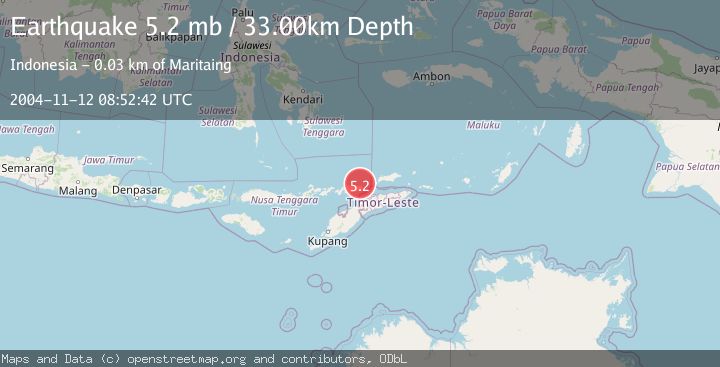
A 5.2 magnitude earthquake struck on EAST TIMOR REGION, at Fri, 12 Nov 2004 08:52:42 GMT. Depth: 33km. Reviewed by EMSC seismologists, this moderate quake occurred at a magnitude type of mb.
Magnitude
5.2
mb
Source
EMSC
Intensity
-
Agency Reports
1 Sources| Source | Magnitude | Depth | Time |
|---|---|---|---|
| EMSCPrimary | 5.2 | 33 km | 21 years ago |
Earthquake Details
AutomaticEvent IDemsc_EMSC_20041112_0000024
Tsunami PotentialNo
Magnitude Typemb
Nearest Places
- Tanjung Pakona14.2 km
- Tanjung Argomo14.3 km
- Teluk Iramakala14.4 km
- Tanjung Manamuni14.5 km
- Alu Likupoko14.6 km
Comments
Join the discussion about this event.
Latest Earthquakes
2.3Mag
Sulawesi, Indonesia
Time3 minutes ago
Depth0.00 km
SourceVYT (Automatic)
3.5Mag
northern Colombia
Time5 minutes ago
Depth205.20 km
SourceVYT (Automatic)
1.8Mag
Southern California
Time5 minutes ago
Depth22.83 km
SourceVYT (Automatic)
2.7Mag
Halmahera, Indonesia
Time9 minutes ago
Depth92.18 km
SourceBMKG
2.6Mag
Poland
Time10 minutes ago
Depth5.00 km
SourceVYT (Automatic)
Nearby Earthquakes
5.1Mag
EAST TIMOR REGION
Time21 years ago
Depth33.00 km
SourceEMSC (Automatic)
7.2Mag
BANDA SEA
Time21 years ago
Depth33.00 km
SourceEMSC (Automatic)
5.1Mag
EAST TIMOR REGION
Time20 years ago
Depth40.00 km
SourceEMSC (Automatic)
2.0Mag
Timor Region
Time3 weeks ago
Depth21.90 km
SourceBMKG (Automatic)
3.0Mag
KEPULAUAN ALOR, INDONESIA
Time2 years ago
Depth10.00 km
SourceBMKG (Automatic)