Earthquake NORTHERN SUMATRA, INDONESIA
Wed, 16 Feb 2005 00:25:21 GMT
Time21 years ago
Location
5.4200, 94.9700
Depth
33.0 KM
Event Summary
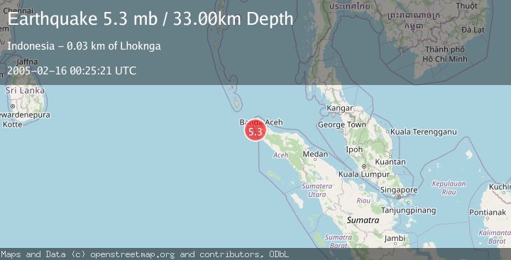
A 5.3 magnitude earthquake struck on NORTHERN SUMATRA, INDONESIA, at Wed, 16 Feb 2005 00:25:21 GMT. Depth: 33km. Reviewed by EMSC seismologists, this moderate quake occurred at a magnitude type of mb.
Magnitude
5.3
mb
Source
EMSC
Intensity
-
Agency Reports
1 Sources| Source | Magnitude | Depth | Time |
|---|---|---|---|
| EMSCPrimary | 5.3 | 33 km | 21 years ago |
Earthquake Details
AutomaticEvent IDemsc_EMSC_20050216_0000022
Tsunami PotentialNo
Magnitude Typemb
Nearest Places
- Karang Sindoro15.3 km
- Karang Raba20.2 km
- Jangkat Rutong22.7 km
- Pulau Geupon23.5 km
- Ujung Kerumbu24.3 km
Comments
Join the discussion about this event.
Latest Earthquakes
4.5Mag
North of Halmahera, Indonesia
Time7 minutes ago
Depth10.00 km
SourceBMKG
3.1Mag
Bali Region, Indonesia
Time13 minutes ago
Depth19.14 km
SourceBMKG
2.7Mag
Coquimbo, Chile
Time14 minutes ago
Depth14.16 km
SourceVYT (Automatic)
1.7Mag
Southeastern Alaska
Time17 minutes ago
Depth5.98 km
SourceVYT (Automatic)
2.1Mag
Tarapaca, Chile
Time18 minutes ago
Depth110.35 km
SourceVYT (Automatic)
Nearby Earthquakes
5.7Mag
NORTHERN SUMATRA, INDONESIA
Time21 years ago
Depth33.00 km
SourceEMSC (Automatic)
4.0Mag
NORTHERN SUMATRA, INDONESIA
Time3 years ago
Depth56.00 km
SourceDJA (Automatic)
5.7Mag
NORTHERN SUMATRA, INDONESIA
Time20 years ago
Depth10.00 km
SourceEMSC (Automatic)
5.9Mag
NORTHERN SUMATRA, INDONESIA
Time21 years ago
Depth40.00 km
SourceEMSC (Automatic)
5.6Mag
NORTHERN SUMATRA, INDONESIA
Time21 years ago
Depth33.00 km
SourceEMSC (Automatic)