Earthquake SIMEULUE, INDONESIA
Fri, 28 Oct 2005 03:07:36 GMT
Time20 years ago
Location
2.2400, 96.2400
Depth
60.0 KM
Event Summary
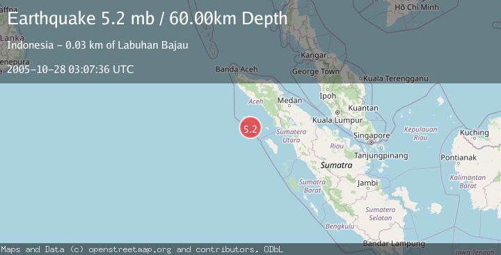
A 5.2 magnitude earthquake struck on SIMEULUE, INDONESIA, at Fri, 28 Oct 2005 03:07:36 GMT. Depth: 60km. Reviewed by EMSC seismologists, this moderate quake occurred at a magnitude type of mb.
Magnitude
5.2
mb
Source
EMSC
Intensity
-
Agency Reports
1 Sources| Source | Magnitude | Depth | Time |
|---|---|---|---|
| EMSCPrimary | 5.2 | 60 km | 20 years ago |
Earthquake Details
AutomaticEvent IDemsc_EMSC_20051028_0000036
Tsunami PotentialNo
Magnitude Typemb
Nearest Places
- Pulau Teupah12.6 km
- Gampong Pulau Teupah12.6 km
- Pulau Tapah12.8 km
- Pulau Mincau13.6 km
- Ujung Nabuluun14.7 km
Comments
Join the discussion about this event.
Latest Earthquakes
2.9Mag
Seram, Indonesia
Time6 minutes ago
Depth15.78 km
SourceBMKG
2.5Mag
Java, Indonesia
Time7 minutes ago
Depth115.38 km
SourceBMKG
1.4Mag
7 km NW of The Geysers, CA
Time10 minutes ago
Depth1.65 km
SourceUSGS (Automatic)
1.1Mag
7 km NE of San Jacinto, CA
Time15 minutes ago
Depth16.11 km
SourceUSGS (Automatic)
1.4Mag
CENTRAL TURKEY
Time22 minutes ago
Depth7.00 km
SourceAFAD (Automatic)
Nearby Earthquakes
4.0Mag
SIMEULUE, INDONESIA
Time6 years ago
Depth12.00 km
SourceDJA (Automatic)
3.0Mag
SIMEULUE, INDONESIA
Time11 months ago
Depth21.00 km
SourceBMKG (Automatic)
4.0Mag
SIMEULUE, INDONESIA
Time2 years ago
Depth16.00 km
SourceBMKG (Automatic)
5.3Mag
SIMEULUE, INDONESIA
Time19 years ago
Depth40.00 km
SourceEMSC (Automatic)
5.1Mag
SIMEULUE, INDONESIA
Time20 years ago
Depth30.00 km
SourceEMSC (Automatic)