Earthquake KEPULAUAN ARU REGION, INDONESIA
Mon, 06 Feb 2006 16:28:42 GMT
Time20 years ago
Location
-5.1100, 134.0900
Depth
10.0 KM
Event Summary
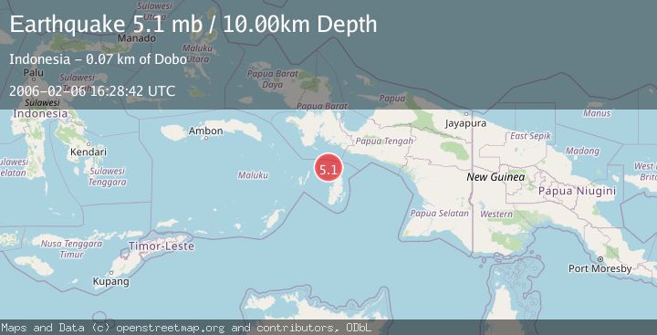
A 5.1 magnitude earthquake struck on KEPULAUAN ARU REGION, INDONESIA, at Mon, 06 Feb 2006 16:28:42 GMT. Depth: 10km. Reviewed by EMSC seismologists, this moderate quake occurred at a magnitude type of mb.
Magnitude
5.1
mb
Source
EMSC
Intensity
-
Agency Reports
1 Sources| Source | Magnitude | Depth | Time |
|---|---|---|---|
| EMSCPrimary | 5.1 | 10 km | 20 years ago |
Earthquake Details
AutomaticEvent IDemsc_EMSC_20060206_0000058
Tsunami PotentialNo
Magnitude Typemb
Nearest Places
- Aru Basin15.8 km
- Java Reef39.7 km
- Pulau Wasir48.7 km
- Pulau Toba51.3 km
- Wasir51.3 km
Comments
Join the discussion about this event.
Latest Earthquakes
2.8Mag
Antofagasta, Chile
Time7 minutes ago
Depth0.00 km
SourceVYT (Automatic)
3.3Mag
Near North Coast of West Papua
Time8 minutes ago
Depth10.00 km
SourceBMKG
2.5Mag
off the coast of Tarapaca, Chile
Time9 minutes ago
Depth0.00 km
SourceVYT (Automatic)
2.6Mag
Sunda Strait, Indonesia
Time10 minutes ago
Depth8.74 km
SourceBMKG
2.8Mag
Ceram Sea
Time11 minutes ago
Depth5.46 km
SourceBMKG
Nearby Earthquakes
5.4Mag
KEPULAUAN ARU REGION, INDONESIA
Time16 years ago
Depth33.00 km
SourceEMSC (Automatic)
5.5Mag
NEAR S COAST OF PAPUA, INDONESIA
Time10 years ago
Depth10.00 km
SourceEMSC (Automatic)
5.0Mag
KEPULAUAN ARU REGION, INDONESIA
Time6 years ago
Depth30.00 km
SourceEMSC (Automatic)
5.3Mag
NEAR S COAST OF PAPUA, INDONESIA
Time8 years ago
Depth10.00 km
SourceEMSC (Automatic)
4.0Mag
NEAR S COAST OF PAPUA, INDONESIA
Time2 years ago
Depth50.00 km
SourceBMKG (Automatic)