Earthquake SIMEULUE, INDONESIA
Mon, 13 Feb 2006 09:32:07 GMT
Time20 years ago
Location
2.9700, 95.5100
Depth
30.0 KM
Event Summary
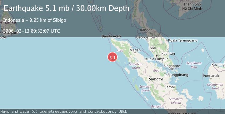
A 5.1 magnitude earthquake struck on SIMEULUE, INDONESIA, at Mon, 13 Feb 2006 09:32:07 GMT. Depth: 30km. Reviewed by EMSC seismologists, this moderate quake occurred at a magnitude type of mb.
Magnitude
5.1
mb
Source
EMSC
Intensity
-
Agency Reports
1 Sources| Source | Magnitude | Depth | Time |
|---|---|---|---|
| EMSCPrimary | 5.1 | 30 km | 20 years ago |
Earthquake Details
AutomaticEvent IDemsc_EMSC_20060213_0000024
Tsunami PotentialNo
Magnitude Typemb
Nearest Places
- Pulau Salaut-besar12.8 km
- Pulau-pulau Kokos13.2 km
- Pulau Salaut Kecil13.3 km
- Pulau Ina28.1 km
- Alahula28.4 km
Comments
Join the discussion about this event.
Latest Earthquakes
2.5Mag
Poland
Time12 hours ago
Depth0.24 km
SourceVYT (Automatic)
2.1Mag
Region Metropolitana, Chile
Time12 hours ago
Depth10.00 km
SourceVYT (Automatic)
1.1Mag
7 km W of Cobb, CA
Time12 hours ago
Depth1.87 km
SourceUSGS (Automatic)
2.6Mag
Near North Coast of West Papua
Time12 hours ago
Depth33.87 km
SourceBMKG
1.0Mag
Northern Territory, Australia
Time12 hours ago
Depth0.00 km
SourceVYT (Automatic)
Nearby Earthquakes
5.8Mag
OFF W COAST OF NORTHERN SUMATRA
Time20 years ago
Depth8.00 km
SourceEMSC (Automatic)
5.2Mag
OFF W COAST OF NORTHERN SUMATRA
Time21 years ago
Depth33.00 km
SourceEMSC (Automatic)
5.3Mag
OFF W COAST OF NORTHERN SUMATRA
Time4 years ago
Depth10.00 km
SourceEMSC (Automatic)
5.0Mag
SIMEULUE, INDONESIA
Time9 years ago
Depth30.00 km
SourceEMSC (Automatic)
5.1Mag
SIMEULUE, INDONESIA
Time20 years ago
Depth20.00 km
SourceEMSC (Automatic)