Earthquake Near North Coast of West Papua
Thu, 19 Feb 2026 06:58:02 GMT
Time3 hours ago
Location
-2.8654, 139.8918
Depth
33.9 KM
Event Summary
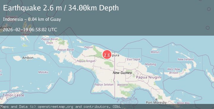
A 2.6 magnitude earthquake struck on Near North Coast of West Papua, at Thu, 19 Feb 2026 06:58:02 GMT. Depth: 33.870022km. Reviewed by BMKG seismologists, this minor quake occurred at a magnitude type of M.
Magnitude
2.6
M
Source
BMKG
Intensity
-
Agency Reports
1 Sources| Source | Magnitude | Depth | Time |
|---|---|---|---|
| BMKGPrimary | 2.6 | 34 km | 3 hours ago |
Earthquake Details
ManualEvent IDbmg2026dmbl
Tsunami PotentialNo
Magnitude TypeM
Nearest Places
- Desa Kobi9.5 km
- Dore12.0 km
- Guai12.8 km
- Kampung Santosa15.1 km
- Kampung Tabbeyan15.6 km
Comments
Join the discussion about this event.
Latest Earthquakes
1.1Mag
7 km W of Cobb, CA
Time3 hours ago
Depth1.87 km
SourceUSGS (Automatic)
1.0Mag
Northern Territory, Australia
Time3 hours ago
Depth0.00 km
SourceVYT (Automatic)
1.8Mag
Southern Alaska
Time3 hours ago
Depth20.39 km
SourceVYT (Automatic)
2.2Mag
Minahasa, Sulawesi, Indonesia
Time3 hours ago
Depth46.75 km
SourceVYT (Automatic)
3.2Mag
Minahassa Peninsula, Sulawesi
Time3 hours ago
Depth6.62 km
SourceBMKG
Nearby Earthquakes
3.0Mag
NEAR N COAST OF PAPUA, INDONESIA
Time5 years ago
Depth49.00 km
SourceDJA (Automatic)
2.6Mag
Near North Coast of West Papua
Time2 weeks ago
Depth10.00 km
SourceBMKG (Automatic)
3.0Mag
NEAR N COAST OF PAPUA, INDONESIA
Time1 year ago
Depth84.00 km
SourceBMKG (Automatic)
2.8Mag
Near North Coast of West Papua
Time2 weeks ago
Depth10.00 km
SourceBMKG (Automatic)
3.0Mag
NEAR N COAST OF PAPUA, INDONESIA
Time6 years ago
Depth31.00 km
SourceDJA (Automatic)