Earthquake KEPULAUAN BARAT DAYA, INDONESIA
Tue, 21 Feb 2006 00:39:56 GMT
Time20 years ago
Location
-7.4800, 127.9000
Depth
40.0 KM
Event Summary
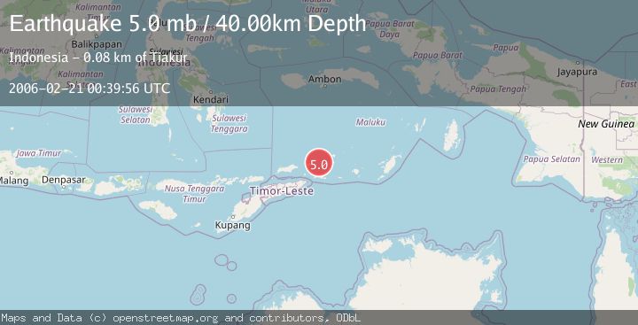
A 5.0 magnitude earthquake struck on KEPULAUAN BARAT DAYA, INDONESIA, at Tue, 21 Feb 2006 00:39:56 GMT. Depth: 40km. Reviewed by EMSC seismologists, this moderate quake occurred at a magnitude type of mb.
Magnitude
5.0
mb
Source
EMSC
Intensity
-
Agency Reports
1 Sources| Source | Magnitude | Depth | Time |
|---|---|---|---|
| EMSCPrimary | 5.0 | 40 km | 20 years ago |
Earthquake Details
AutomaticEvent IDemsc_EMSC_20060221_0000039
Tsunami PotentialNo
Magnitude Typemb
Nearest Places
- Kepulauan Barat Daya13.1 km
- Pulau Juha31.6 km
- Pulau Maopora35.2 km
- Tanjung Liyiar36.6 km
- Pulau Kital38.5 km
Comments
Join the discussion about this event.
Latest Earthquakes
3.8Mag
Tarapaca, Chile
Time3 minutes ago
Depth93.51 km
SourceVYT (Automatic)
2.5Mag
Ceram Sea
Time5 minutes ago
Depth3.27 km
SourceBMKG
2.1Mag
Halmahera, Indonesia
Time8 minutes ago
Depth4.45 km
SourceBMKG
3.4Mag
Talaud Islands, Indonesia
Time11 minutes ago
Depth98.99 km
SourceBMKG
2.1Mag
Flores Region, Indonesia
Time12 minutes ago
Depth165.90 km
SourceBMKG
Nearby Earthquakes
6.0Mag
KEPULAUAN BARAT DAYA, INDONESIA
Time17 years ago
Depth143.00 km
SourceEMSC (Automatic)
4.1Mag
KEPULAUAN BARAT DAYA, INDONESIA
Time1 month ago
Depth173.00 km
SourceBMKG (Automatic)
4.0Mag
KEPULAUAN BARAT DAYA, INDONESIA
Time6 years ago
Depth201.00 km
SourceDJA (Automatic)
6.7Mag
KEPULAUAN BARAT DAYA, INDONESIA
Time9 years ago
Depth177.00 km
SourceEMSC (Automatic)
5.2Mag
KEPULAUAN BARAT DAYA, INDONESIA
Time21 years ago
Depth20.00 km
SourceEMSC (Automatic)