Earthquake SOUTH OF JAVA, INDONESIA
Mon, 17 Jul 2006 15:15:10 GMT
Time19 years ago
Location
-9.7300, 107.8800
Depth
20.0 KM
Event Summary
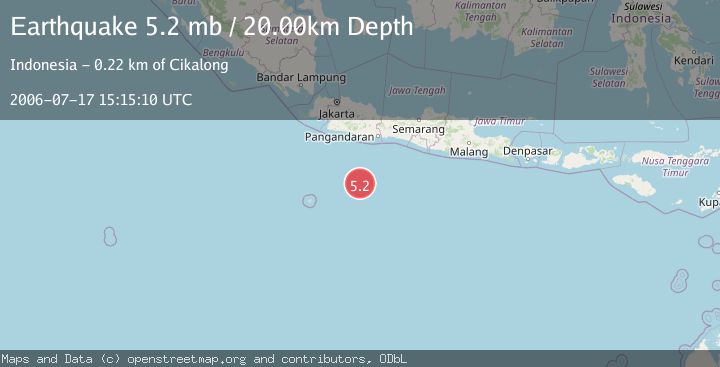
A 5.2 magnitude earthquake struck on SOUTH OF JAVA, INDONESIA, at Mon, 17 Jul 2006 15:15:10 GMT. Depth: 20km. Reviewed by EMSC seismologists, this moderate quake occurred at a magnitude type of mb.
Magnitude
5.2
mb
Source
EMSC
Intensity
-
Agency Reports
1 Sources| Source | Magnitude | Depth | Time |
|---|---|---|---|
| EMSCPrimary | 5.2 | 10 km | 19 years ago |
Earthquake Details
AutomaticEvent IDemsc_EMSC_20060717_0000081
Tsunami PotentialNo
Magnitude Typemb
Nearest Places
- Java Ridge125.4 km
- Umbgrove Seamount189.5 km
- Sunda Trough203.8 km
- Batu Nunggal217.6 km
- Tanjung Karangtawulan217.9 km
Comments
Join the discussion about this event.
Latest Earthquakes
3.8Mag
Tarapaca, Chile
Time4 minutes ago
Depth93.51 km
SourceVYT (Automatic)
2.5Mag
Ceram Sea
Time6 minutes ago
Depth3.27 km
SourceBMKG
2.1Mag
Halmahera, Indonesia
Time8 minutes ago
Depth4.45 km
SourceBMKG
3.4Mag
Talaud Islands, Indonesia
Time12 minutes ago
Depth98.99 km
SourceBMKG
2.1Mag
Flores Region, Indonesia
Time13 minutes ago
Depth165.90 km
SourceBMKG
Nearby Earthquakes
5.0Mag
SOUTH OF JAVA, INDONESIA
Time19 years ago
Depth30.00 km
SourceEMSC (Automatic)
6.8Mag
SOUTH OF JAVA, INDONESIA
Time14 years ago
Depth10.00 km
SourceEMSC (Automatic)
5.1Mag
SOUTH OF JAVA, INDONESIA
Time19 years ago
Depth2.00 km
SourceEMSC (Automatic)
5.2Mag
SOUTH OF JAVA, INDONESIA
Time18 years ago
Depth34.00 km
SourceEMSC (Automatic)
5.0Mag
SOUTH OF JAVA, INDONESIA
Time19 years ago
Depth30.00 km
SourceEMSC (Automatic)