Earthquake KEPULAUAN BARAT DAYA, INDONESIA
Fri, 13 Oct 2006 00:08:37 GMT
Time19 years ago
Location
-7.5300, 127.7500
Depth
120.0 KM
Event Summary
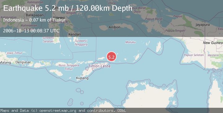
A 5.2 magnitude earthquake struck on KEPULAUAN BARAT DAYA, INDONESIA, at Fri, 13 Oct 2006 00:08:37 GMT. Depth: 120km. Reviewed by EMSC seismologists, this moderate quake occurred at a magnitude type of mb.
Magnitude
5.2
mb
Source
EMSC
Intensity
-
Agency Reports
1 Sources| Source | Magnitude | Depth | Time |
|---|---|---|---|
| EMSCPrimary | 5.2 | 120 km | 19 years ago |
Earthquake Details
AutomaticEvent IDemsc_EMSC_20061013_0000035
Tsunami PotentialNo
Magnitude Typemb
Nearest Places
- Pulau Juha14.3 km
- Pulau Maopora17.8 km
- Tanjung Liyiar19.4 km
- Pulau Kital21.4 km
- Pulau Laut21.8 km
Comments
Join the discussion about this event.
Latest Earthquakes
1.6Mag
Southern Alaska
Time12 minutes ago
Depth48.58 km
SourceVYT (Automatic)
2.2Mag
PUERTO RICO
Time13 minutes ago
Depth13.80 km
SourcePR (Automatic)
2.3Mag
Antofagasta, Chile
Time14 minutes ago
Depth82.15 km
SourceVYT (Automatic)
2.1Mag
Southern Alaska
Time16 minutes ago
Depth64.21 km
SourceVYT (Automatic)
2.5Mag
Central Alaska
Time22 minutes ago
Depth312.99 km
SourceVYT (Automatic)
Nearby Earthquakes
5.2Mag
KEPULAUAN BARAT DAYA, INDONESIA
Time2 years ago
Depth148.00 km
SourceEMSC (Automatic)
3.0Mag
Banda Sea
Time1 week ago
Depth170.94 km
SourceBMKG
4.0Mag
KEPULAUAN BARAT DAYA, INDONESIA
Time11 months ago
Depth151.00 km
SourceBMKG (Automatic)
5.6Mag
KEPULAUAN BARAT DAYA, INDONESIA
Time16 years ago
Depth158.00 km
SourceEMSC (Automatic)
3.8Mag
KEPULAUAN BARAT DAYA, INDONESIA
Time1 month ago
Depth107.00 km
SourceBMKG (Automatic)