Earthquake KEPULAUAN BARAT DAYA, INDONESIA
Thu, 26 Feb 2009 21:09:31 GMT
Time16 years ago
Location
-7.5400, 127.8000
Depth
158.0 KM
Event Summary
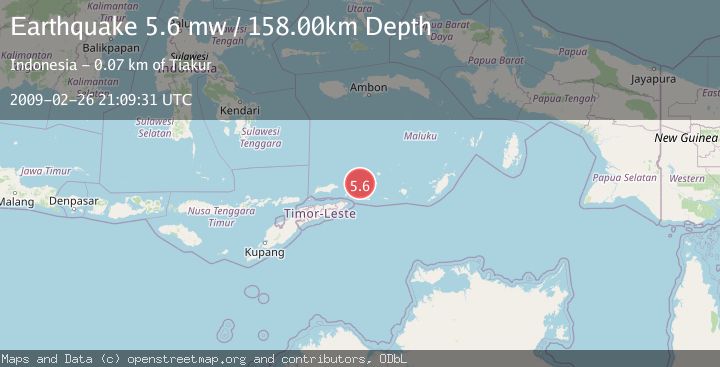
A 5.6 magnitude earthquake struck on KEPULAUAN BARAT DAYA, INDONESIA, at Thu, 26 Feb 2009 21:09:31 GMT. Depth: 158km. Reviewed by EMSC seismologists, this moderate quake occurred at a magnitude type of mw.
Magnitude
5.6
mw
Source
EMSC
Intensity
-
Agency Reports
1 Sources| Source | Magnitude | Depth | Time |
|---|---|---|---|
| EMSCPrimary | 5.6 | 158 km | 16 years ago |
Earthquake Details
AutomaticEvent IDemsc_EMSC_20090226_0000071
Tsunami PotentialNo
Magnitude Typemw
Nearest Places
- Pulau Juha19.0 km
- Pulau Maopora22.8 km
- Tanjung Liyiar23.9 km
- Kepulauan Barat Daya26.0 km
- Pulau Kital26.8 km
Comments
Join the discussion about this event.
Latest Earthquakes
2.5Mag
San Juan, Argentina
Time2 minutes ago
Depth363.53 km
SourceVYT (Automatic)
2.4Mag
Java, Indonesia
Time2 minutes ago
Depth110.70 km
SourceBMKG
3.9Mag
Halmahera, Indonesia
Time4 minutes ago
Depth161.01 km
SourceVYT (Automatic)
1.0Mag
3 km W of Cobb, CA
Time6 minutes ago
Depth2.45 km
SourceUSGS (Automatic)
3.1Mag
SPAIN
Time9 minutes ago
Depth5.00 km
SourceIGN (Automatic)
Nearby Earthquakes
3.0Mag
Banda Sea
Time1 week ago
Depth170.94 km
SourceBMKG
5.2Mag
KEPULAUAN BARAT DAYA, INDONESIA
Time19 years ago
Depth120.00 km
SourceEMSC (Automatic)
5.2Mag
KEPULAUAN BARAT DAYA, INDONESIA
Time3 months ago
Depth162.30 km
SourceEMSC (Automatic)
5.2Mag
KEPULAUAN BARAT DAYA, INDONESIA
Time2 years ago
Depth148.00 km
SourceEMSC (Automatic)
5.0Mag
KEPULAUAN BARAT DAYA, INDONESIA
Time11 months ago
Depth157.50 km
SourceEMSC (Automatic)