Earthquake MINDANAO, PHILIPPINES
Tue, 12 Dec 2006 09:37:36 GMT
Time19 years ago
Location
6.4700, 126.0000
Depth
92.0 KM
Event Summary
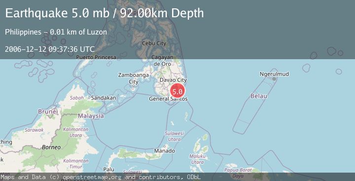
A 5.0 magnitude earthquake struck on MINDANAO, PHILIPPINES, at Tue, 12 Dec 2006 09:37:36 GMT. Depth: 92km. Reviewed by EMSC seismologists, this moderate quake occurred at a magnitude type of mb.
Magnitude
5.0
mb
Source
EMSC
Intensity
-
Agency Reports
1 Sources| Source | Magnitude | Depth | Time |
|---|---|---|---|
| EMSCPrimary | 5.0 | 92 km | 19 years ago |
Earthquake Details
AutomaticEvent IDemsc_EMSC_20061212_0000060
Tsunami PotentialNo
Magnitude Typemb
Nearest Places
- Davao Gulf9.8 km
- Kasa River10.6 km
- Madtuka Point10.9 km
- Baguian River11.1 km
- Luzon Creek11.5 km
Comments
Join the discussion about this event.
Latest Earthquakes
1.9Mag
6 km NW of Pinnacles, CA
Time4 minutes ago
Depth4.82 km
SourceUSGS (Automatic)
1.2Mag
Southern Yukon Territory, Canada
Time16 minutes ago
Depth0.00 km
SourceVYT (Automatic)
3.6Mag
Jujuy, Argentina
Time17 minutes ago
Depth228.27 km
SourceVYT (Automatic)
1.3Mag
2 km N of The Geysers, CA
Time24 minutes ago
Depth0.17 km
SourceUSGS (Automatic)
1.6Mag
3 km ESE of Berkeley, CA
Time25 minutes ago
Depth9.87 km
SourceUSGS (Automatic)
Nearby Earthquakes
3.0Mag
MINDANAO, PHILIPPINES
Time4 years ago
Depth146.00 km
SourcePIVS (Automatic)
3.0Mag
MINDANAO, PHILIPPINES
Time2 years ago
Depth129.00 km
SourcePIVS (Automatic)
3.0Mag
MINDANAO, PHILIPPINES
Time5 years ago
Depth24.00 km
SourcePIVS (Automatic)
4.0Mag
MINDANAO, PHILIPPINES
Time1 month ago
Depth93.00 km
SourceNEIC (Automatic)
3.0Mag
MINDANAO, PHILIPPINES
Time1 year ago
Depth26.00 km
SourcePIVS (Automatic)