Earthquake Southern Yukon Territory, Canada
Fri, 20 Feb 2026 02:18:00 GMT
Time1 hour ago
Location
61.2873, -140.6776
Depth
0.0 KM
Event Summary
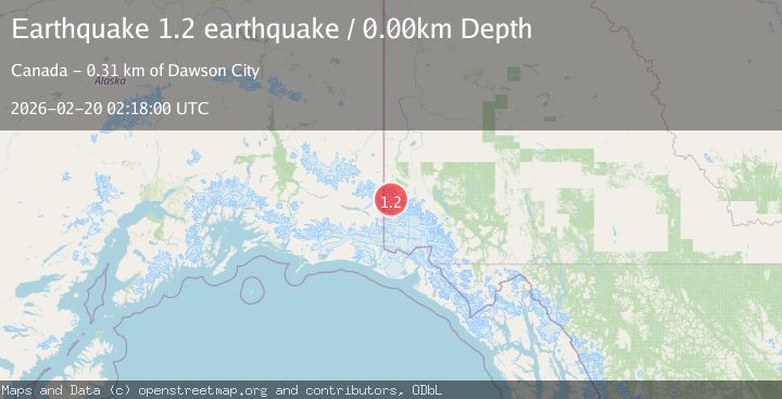
A 1.2 magnitude earthquake struck on Southern Yukon Territory, Canada, at Fri, 20 Feb 2026 02:18:00 GMT. Depth: 0km. Reviewed by VYT seismologists, this minor quake occurred at a magnitude type of earthquake.
Magnitude
1.2
earthquake
Source
VYT
Intensity
-
Agency Reports
1 Sources| Source | Magnitude | Depth | Time |
|---|---|---|---|
| VYTPrimary | 1.2 | 0 km | 1 hour ago |
Earthquake Details
AutomaticEvent IDvyt_nkwqdhnmfeg7
Tsunami PotentialNo
Magnitude Typeearthquake
Nearest Places
- Solomon Peak1.8 km
- Mount Strickland5.6 km
- Mount Wood Glacier5.8 km
- Avalanche Peak6.7 km
- Brabazon Glacier7.2 km
Comments
Join the discussion about this event.
Latest Earthquakes
3.3Mag
Jujuy, Argentina
Time1 hour ago
Depth228.27 km
SourceVYT (Automatic)
1.3Mag
2 km N of The Geysers, CA
Time1 hour ago
Depth0.17 km
SourceUSGS (Automatic)
1.6Mag
3 km ESE of Berkeley, CA
Time1 hour ago
Depth9.87 km
SourceUSGS (Automatic)
2.2Mag
Flores Region, Indonesia
Time1 hour ago
Depth9.78 km
SourceBMKG
3.0Mag
Antofagasta, Chile
Time1 hour ago
Depth108.89 km
SourceVYT (Automatic)
Nearby Earthquakes
1.8Mag
119 km ESE of McCarthy, Alaska
Time3 weeks ago
Depth11.50 km
SourceUSGS
1.9Mag
Southern Yukon Territory, Canada
Time1 week ago
Depth0.00 km
SourceVYT (Automatic)
2.3Mag
Southern Yukon Territory, Canada
Time1 week ago
Depth7.57 km
SourceVYT (Automatic)
5.1Mag
SOUTHERN YUKON TERRITORY, CANADA
Time11 years ago
Depth10.00 km
SourceEMSC (Automatic)
3.1Mag
SOUTHERN ALASKA
Time3 weeks ago
Depth1.70 km
SourceAK (Automatic)