Earthquake MOLUCCA SEA
Sun, 17 Dec 2006 09:04:21 GMT
Time19 years ago
Location
-0.2800, 125.0600
Depth
50.0 KM
Event Summary
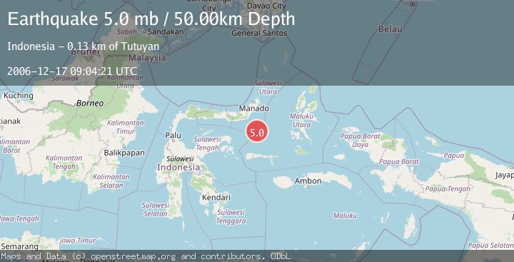
A 5.0 magnitude earthquake struck on MOLUCCA SEA, at Sun, 17 Dec 2006 09:04:21 GMT. Depth: 50km. Reviewed by EMSC seismologists, this moderate quake occurred at a magnitude type of mb.
Magnitude
5.0
mb
Source
EMSC
Intensity
-
Agency Reports
1 Sources| Source | Magnitude | Depth | Time |
|---|---|---|---|
| EMSCPrimary | 5.0 | 50 km | 19 years ago |
Earthquake Details
AutomaticEvent IDemsc_EMSC_20061217_0000043
Tsunami PotentialNo
Magnitude Typemb
Nearest Places
- Batu Mandi102.4 km
- Tanjung Flesko103.5 km
- Pulau Lampu103.6 km
- Tanjung Palureoi104.2 km
- Tanjung Payongan105.0 km
Comments
Join the discussion about this event.
Latest Earthquakes
1.7Mag
western Texas
Time4 minutes ago
Depth3.42 km
SourceVYT (Automatic)
3.5Mag
Seram, Indonesia
Time6 minutes ago
Depth0.00 km
SourceVYT (Automatic)
1.6Mag
54 km WNW of Toyah, Texas
Time12 minutes ago
Depth0.00 km
SourceUSGS (Automatic)
2.2Mag
West Papua Region, Indonesia
Time13 minutes ago
Depth26.69 km
SourceBMKG
1.2Mag
WESTERN TURKEY
Time14 minutes ago
Depth7.00 km
SourceAFAD (Automatic)
Nearby Earthquakes
5.0Mag
MOLUCCA SEA
Time16 years ago
Depth80.00 km
SourceEMSC (Automatic)
5.6Mag
MOLUCCA SEA
Time2 years ago
Depth45.00 km
SourceEMSC (Automatic)
5.0Mag
MOLUCCA SEA
Time19 years ago
Depth80.00 km
SourceEMSC (Automatic)
5.2Mag
MOLUCCA SEA
Time1 year ago
Depth60.90 km
SourceEMSC (Automatic)
5.5Mag
MOLUCCA SEA
Time19 years ago
Depth33.00 km
SourceEMSC (Automatic)