Earthquake SOUTH OF SUMBAWA, INDONESIA
Tue, 20 Feb 2007 23:12:29 GMT
Time19 years ago
Location
-11.2900, 118.8700
Depth
30.0 KM
Event Summary
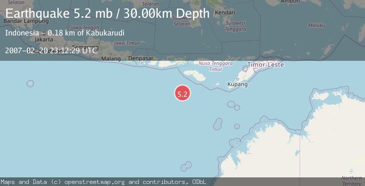
A 5.2 magnitude earthquake struck on SOUTH OF SUMBAWA, INDONESIA, at Tue, 20 Feb 2007 23:12:29 GMT. Depth: 30km. Reviewed by EMSC seismologists, this moderate quake occurred at a magnitude type of mb.
Magnitude
5.2
mb
Source
EMSC
Intensity
-
Agency Reports
1 Sources| Source | Magnitude | Depth | Time |
|---|---|---|---|
| EMSCPrimary | 5.2 | 30 km | 19 years ago |
Earthquake Details
AutomaticEvent IDemsc_EMSC_20070220_0000058
Tsunami PotentialNo
Magnitude Typemb
Nearest Places
- Corona Bank123.9 km
- Pulau Mangudu173.0 km
- Watu Kalode174.4 km
- Tanjung Mambang174.6 km
- Tanjung Toroha175.1 km
Comments
Join the discussion about this event.
Latest Earthquakes
1.7Mag
western Texas
Time4 minutes ago
Depth3.42 km
SourceVYT (Automatic)
3.5Mag
Seram, Indonesia
Time6 minutes ago
Depth0.00 km
SourceVYT (Automatic)
1.6Mag
54 km WNW of Toyah, Texas
Time11 minutes ago
Depth0.00 km
SourceUSGS (Automatic)
2.2Mag
West Papua Region, Indonesia
Time13 minutes ago
Depth26.69 km
SourceBMKG
1.2Mag
WESTERN TURKEY
Time14 minutes ago
Depth7.00 km
SourceAFAD (Automatic)
Nearby Earthquakes
3.9Mag
South of Sumbawa, Indonesia
Time7 hours ago
Depth10.00 km
SourceBMKG
3.5Mag
SOUTH OF SUMBAWA, INDONESIA
Time1 month ago
Depth10.00 km
SourceBMKG (Automatic)
5.0Mag
SOUTH OF SUMBA, INDONESIA
Time14 years ago
Depth40.00 km
SourceEMSC (Automatic)
3.0Mag
SOUTH OF SUMBAWA, INDONESIA
Time1 month ago
Depth10.00 km
SourceBMKG (Automatic)
3.4Mag
South of Sumbawa, Indonesia
Time2 weeks ago
Depth10.00 km
SourceBMKG (Automatic)