Earthquake BANDA SEA
Fri, 17 Aug 2007 03:04:01 GMT
Time18 years ago
Location
-5.2300, 129.4800
Depth
10.0 KM
Event Summary
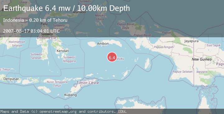
A 6.4 magnitude earthquake struck on BANDA SEA, at Fri, 17 Aug 2007 03:04:01 GMT. Depth: 10km. Reviewed by EMSC seismologists, this strong quake occurred at a magnitude type of mw.
Magnitude
6.4
mw
Source
EMSC
Intensity
-
Agency Reports
1 Sources| Source | Magnitude | Depth | Time |
|---|---|---|---|
| EMSCPrimary | 6.4 | 10 km | 18 years ago |
Earthquake Details
AutomaticEvent IDemsc_EMSC_20070817_0000061
Tsunami PotentialNo
Magnitude Typemw
Nearest Places
- Tanjung Noret77.2 km
- Gunung Gandulang77.4 km
- Run78.2 km
- Desa Pulau Rhun78.3 km
- Pulau Run78.3 km
Comments
Join the discussion about this event.
Latest Earthquakes
2.8Mag
West Papua Region, Indonesia
Time7 minutes ago
Depth34.12 km
SourceBMKG
3.6Mag
NORTHERN ALGERIA
Time14 minutes ago
Depth5.80 km
SourceIGN (Automatic)
2.6Mag
Java, Indonesia
Time17 minutes ago
Depth214.22 km
SourceBMKG
1.0Mag
Southeastern Alaska
Time17 minutes ago
Depth0.00 km
SourceVYT (Automatic)
3.5Mag
COOK STRAIT, NEW ZEALAND
Time18 minutes ago
Depth75.30 km
SourceGNS (Automatic)
Nearby Earthquakes
4.0Mag
BANDA SEA
Time6 years ago
Depth227.00 km
SourceDJA (Automatic)
5.7Mag
BANDA SEA
Time15 years ago
Depth47.00 km
SourceEMSC (Automatic)
4.0Mag
BANDA SEA
Time11 months ago
Depth239.00 km
SourceBMKG (Automatic)
5.3Mag
BANDA SEA
Time13 years ago
Depth241.00 km
SourceEMSC (Automatic)
4.0Mag
BANDA SEA
Time4 years ago
Depth238.00 km
SourceDJA (Automatic)