Earthquake SOUTHERN SUMATRA, INDONESIA
Wed, 12 Sep 2007 18:29:32 GMT
Time18 years ago
Location
-3.8800, 101.2700
Depth
30.0 KM
Event Summary
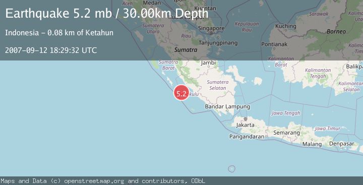
A 5.2 magnitude earthquake struck on SOUTHERN SUMATRA, INDONESIA, at Wed, 12 Sep 2007 18:29:32 GMT. Depth: 30km. Reviewed by EMSC seismologists, this moderate quake occurred at a magnitude type of mb.
Magnitude
5.2
mb
Source
EMSC
Intensity
-
Agency Reports
1 Sources| Source | Magnitude | Depth | Time |
|---|---|---|---|
| EMSCPrimary | 5.2 | 30 km | 18 years ago |
Earthquake Details
AutomaticEvent IDemsc_EMSC_20070912_0000096
Tsunami PotentialNo
Magnitude Typemb
Nearest Places
- Mentawai Trough28.8 km
- Pulau Mega29.4 km
- Karangpulau81.0 km
- Pulau Situpai81.1 km
- Desa Kota Bani81.2 km
Comments
Join the discussion about this event.
Latest Earthquakes
2.5Mag
Northern Sumatra, Indonesia
Time3 minutes ago
Depth5.00 km
SourceBMKG
1.8Mag
Tarapaca, Chile
Time3 minutes ago
Depth0.00 km
SourceVYT (Automatic)
0.8Mag
31 km E of Coso Junction, CA
Time11 minutes ago
Depth4.01 km
SourceUSGS (Automatic)
2.0Mag
Tarapaca, Chile
Time11 minutes ago
Depth130.49 km
SourceVYT (Automatic)
2.3Mag
Southern Alaska
Time18 minutes ago
Depth46.75 km
SourceVYT (Automatic)
Nearby Earthquakes
3.0Mag
SOUTHERN SUMATRA, INDONESIA
Time5 years ago
Depth10.00 km
SourceDJA (Automatic)
3.0Mag
SOUTHERN SUMATRA, INDONESIA
Time2 years ago
Depth14.00 km
SourceBMKG (Automatic)
3.0Mag
SOUTHERN SUMATRA, INDONESIA
Time4 years ago
Depth10.00 km
SourceDJA (Automatic)
6.4Mag
SOUTHERN SUMATRA, INDONESIA
Time18 years ago
Depth30.00 km
SourceEMSC (Automatic)
3.0Mag
SOUTHERN SUMATRA, INDONESIA
Time4 years ago
Depth10.00 km
SourceDJA (Automatic)