Earthquake SOUTHERN SUMATRA, INDONESIA
Fri, 14 Sep 2007 13:07:46 GMT
Time18 years ago
Location
-2.9300, 102.2200
Depth
30.0 KM
Event Summary
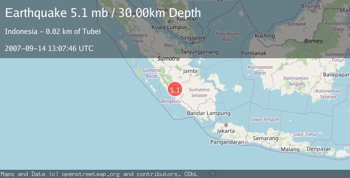
A 5.1 magnitude earthquake struck on SOUTHERN SUMATRA, INDONESIA, at Fri, 14 Sep 2007 13:07:46 GMT. Depth: 30km. Reviewed by EMSC seismologists, this moderate quake occurred at a magnitude type of mb.
Magnitude
5.1
mb
Source
EMSC
Intensity
-
Agency Reports
1 Sources| Source | Magnitude | Depth | Time |
|---|---|---|---|
| EMSCPrimary | 5.1 | 30 km | 18 years ago |
Earthquake Details
AutomaticEvent IDemsc_EMSC_20070914_0000083
Tsunami PotentialNo
Magnitude Typemb
Nearest Places
- Bukit Runcing2.3 km
- Bukit Bubung8.4 km
- Pegunungan Barisan8.5 km
- Desa Ketenong Jaya8.6 km
- Gunung Hijau9.7 km
Comments
Join the discussion about this event.
Latest Earthquakes
2.1Mag
Central Alaska
Time7 minutes ago
Depth29.79 km
SourceVYT (Automatic)
1.7Mag
7 km WNW of Hilltop, Texas
Time8 minutes ago
Depth9.56 km
SourceUSGS (Automatic)
2.3Mag
Tarapaca, Chile
Time9 minutes ago
Depth77.03 km
SourceVYT (Automatic)
1.2Mag
30 km WSW of Mentone, Texas
Time10 minutes ago
Depth4.42 km
SourceUSGS (Automatic)
2.2Mag
Fox Islands, Aleutian Islands, Alaska
Time16 minutes ago
Depth36.87 km
SourceVYT (Automatic)
Nearby Earthquakes
5.1Mag
SOUTHERN SUMATRA, INDONESIA
Time9 years ago
Depth158.00 km
SourceEMSC (Automatic)
2.6Mag
SOUTHERN SUMATRA, INDONESIA
Time1 month ago
Depth155.00 km
SourceBMKG (Automatic)
4.0Mag
SOUTHERN SUMATRA, INDONESIA
Time2 years ago
Depth116.00 km
SourceBMKG (Automatic)
5.1Mag
SOUTHERN SUMATRA, INDONESIA
Time11 years ago
Depth166.00 km
SourceEMSC (Automatic)
4.0Mag
SOUTHERN SUMATRA, INDONESIA
Time4 years ago
Depth114.00 km
SourceNEIC (Automatic)