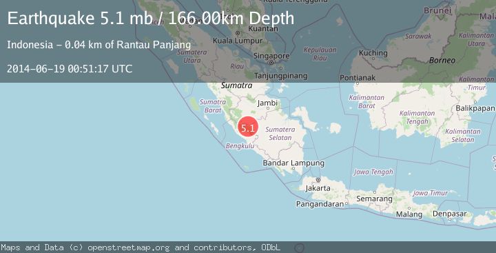
Earthquake SOUTHERN SUMATRA, INDONESIA
Thu, 19 Jun 2014 00:51:17 GMT
Time11 years ago
Location
-2.8100, 102.3500
Depth
166.0 KM
Event Summary
A 5.1 magnitude earthquake struck on SOUTHERN SUMATRA, INDONESIA, at Thu, 19 Jun 2014 00:51:17 GMT. Depth: 166km. Reviewed by EMSC seismologists, this moderate quake occurred at a magnitude type of mb.
Magnitude
5.1
mb
Source
EMSC
Intensity
-
Agency Reports
1 Sources| Source | Magnitude | Depth | Time |
|---|---|---|---|
| EMSCPrimary | 5.1 | 166 km | 11 years ago |
Earthquake Details
AutomaticEvent IDemsc_EMSC_20140619_0000003
Tsunami PotentialNo
Magnitude Typemb
Nearest Places
- Kelurahan Muara Kulam2.4 km
- Bukit Salimantangguk3.6 km
- Bukit Tunggal4.3 km
- Kecamatan Ulu Rawas5.2 km
- Bukit Hulusenawar6.5 km
Comments
Join the discussion about this event.
Latest Earthquakes
1.7Mag
STRAIT OF GIBRALTAR
Time9 minutes ago
Depth15.80 km
SourceIGN (Automatic)
3.2Mag
Croatia-Bosnia and Herzegovina border region
Time12 minutes ago
Depth63.84 km
SourceVYT (Automatic)
1.0Mag
Southern Alaska
Time17 minutes ago
Depth13.43 km
SourceVYT (Automatic)
2.7Mag
Southeastern Alaska
Time18 minutes ago
Depth138.92 km
SourceVYT (Automatic)
1.7Mag
8 km ENE of Calumet, Oklahoma
Time18 minutes ago
Depth6.03 km
SourceUSGS (Automatic)
Nearby Earthquakes
3.0Mag
SOUTHERN SUMATRA, INDONESIA
Time3 years ago
Depth154.00 km
SourceDJA (Automatic)
5.1Mag
SOUTHERN SUMATRA, INDONESIA
Time9 years ago
Depth158.00 km
SourceEMSC (Automatic)
2.6Mag
SOUTHERN SUMATRA, INDONESIA
Time1 month ago
Depth155.00 km
SourceBMKG (Automatic)
5.8Mag
SOUTHERN SUMATRA, INDONESIA
Time7 years ago
Depth169.00 km
SourceEMSC (Automatic)
3.0Mag
SOUTHERN SUMATRA, INDONESIA
Time5 years ago
Depth165.00 km
SourceDJA (Automatic)