Earthquake PHILIPPINE ISLANDS REGION
Sat, 29 Sep 2007 06:42:35 GMT
Time18 years ago
Location
6.0600, 127.6200
Depth
40.0 KM
Event Summary
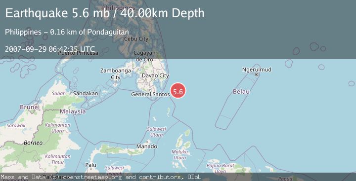
A 5.6 magnitude earthquake struck on PHILIPPINE ISLANDS REGION, at Sat, 29 Sep 2007 06:42:35 GMT. Depth: 40km. Reviewed by EMSC seismologists, this moderate quake occurred at a magnitude type of mb.
Magnitude
5.6
mb
Source
EMSC
Intensity
-
Agency Reports
1 Sources| Source | Magnitude | Depth | Time |
|---|---|---|---|
| EMSCPrimary | 5.6 | 40 km | 18 years ago |
Earthquake Details
AutomaticEvent IDemsc_EMSC_20070929_0000064
Tsunami PotentialNo
Magnitude Typemb
Nearest Places
- Tanjung Dapapa126.6 km
- Desa Pulau Miangas127.5 km
- Kecamatan Miangas127.5 km
- Pulau Miangas127.5 km
- Miangas128.3 km
Comments
Join the discussion about this event.
Latest Earthquakes
2.0Mag
Tarapaca, Chile
Time3 minutes ago
Depth130.49 km
SourceVYT (Automatic)
2.3Mag
Southern Alaska
Time10 minutes ago
Depth46.75 km
SourceVYT (Automatic)
2.9Mag
OFFSHORE GUATEMALA
Time10 minutes ago
Depth40.00 km
SourceINET (Automatic)
3.5Mag
Western Australia
Time10 minutes ago
Depth120.24 km
SourceVYT (Automatic)
2.5Mag
Antofagasta, Chile
Time11 minutes ago
Depth177.86 km
SourceVYT (Automatic)
Nearby Earthquakes
5.0Mag
PHILIPPINE ISLANDS REGION
Time3 years ago
Depth10.00 km
SourceEMSC (Automatic)
3.0Mag
PHILIPPINE ISLANDS REGION
Time4 years ago
Depth7.00 km
SourcePIVS (Automatic)
3.0Mag
PHILIPPINE ISLANDS REGION
Time4 years ago
Depth99.00 km
SourcePIVS (Automatic)
4.0Mag
PHILIPPINE ISLANDS REGION
Time4 years ago
Depth27.00 km
SourcePIVS (Automatic)
3.0Mag
PHILIPPINE ISLANDS REGION
Time2 months ago
Depth15.00 km
SourcePIVS (Automatic)