Earthquake BATAN ISL REGION, PHILIPPINES
Tue, 19 Feb 2008 16:57:08 GMT
Time18 years ago
Location
20.3100, 121.1200
Depth
10.0 KM
Event Summary
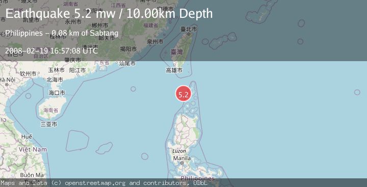
A 5.2 magnitude earthquake struck on BATAN ISL REGION, PHILIPPINES, at Tue, 19 Feb 2008 16:57:08 GMT. Depth: 10km. Reviewed by EMSC seismologists, this moderate quake occurred at a magnitude type of mw.
Magnitude
5.2
mw
Source
EMSC
Intensity
-
Agency Reports
1 Sources| Source | Magnitude | Depth | Time |
|---|---|---|---|
| EMSCPrimary | 5.2 | 10 km | 18 years ago |
Earthquake Details
AutomaticEvent IDemsc_EMSC_20080219_0000044
Tsunami PotentialNo
Magnitude Typemw
Nearest Places
- Chacaracarangen Point68.6 km
- Vuyavoy Point69.1 km
- Dequey Island69.4 km
- Ibahos Channel70.3 km
- Duhbu Point70.7 km
Comments
Join the discussion about this event.
Latest Earthquakes
2.0Mag
Southern Alaska
Time8 minutes ago
Depth26.61 km
SourceVYT (Automatic)
2.8Mag
Central Alaska
Time12 minutes ago
Depth292.36 km
SourceVYT (Automatic)
1.0Mag
12 km ESE of Anza, CA
Time17 minutes ago
Depth18.49 km
SourceUSGS (Automatic)
3.2Mag
Molucca Sea
Time18 minutes ago
Depth0.12 km
SourceVYT (Automatic)
1.0Mag
33 km SE of Minto, Alaska
Time20 minutes ago
Depth8.60 km
SourceUSGS (Automatic)
Nearby Earthquakes
3.0Mag
BATAN ISL REGION, PHILIPPINES
Time4 years ago
Depth11.00 km
SourcePIVS (Automatic)
3.0Mag
BATAN ISL REGION, PHILIPPINES
Time2 years ago
Depth40.00 km
SourcePIVS (Automatic)
3.0Mag
PHILIPPINE ISLANDS REGION
Time3 years ago
Depth31.00 km
SourcePIVS (Automatic)
3.0Mag
BATAN ISL REGION, PHILIPPINES
Time1 year ago
Depth15.00 km
SourcePIVS (Automatic)
3.0Mag
BATAN ISL REGION, PHILIPPINES
Time3 years ago
Depth30.00 km
SourcePIVS (Automatic)