Earthquake SOUTHERN SUMATRA, INDONESIA
Tue, 26 Feb 2008 18:18:33 GMT
Time17 years ago
Location
-3.6200, 101.1900
Depth
60.0 KM
Event Summary
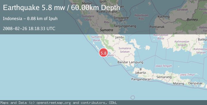
A 5.8 magnitude earthquake struck on SOUTHERN SUMATRA, INDONESIA, at Tue, 26 Feb 2008 18:18:33 GMT. Depth: 60km. Reviewed by EMSC seismologists, this moderate quake occurred at a magnitude type of mw.
Magnitude
5.8
mw
Source
EMSC
Intensity
-
Agency Reports
1 Sources| Source | Magnitude | Depth | Time |
|---|---|---|---|
| EMSCPrimary | 5.8 | 60 km | 17 years ago |
Earthquake Details
AutomaticEvent IDemsc_EMSC_20080226_0000088
Tsunami PotentialNo
Magnitude Typemw
Nearest Places
- Pulau Mega45.7 km
- Mentawai Trough54.5 km
- Pulau Situpai59.5 km
- Pulau Sanding61.9 km
- Sungai Seblat63.5 km
Comments
Join the discussion about this event.
Latest Earthquakes
2.6Mag
Tarapaca, Chile
Time3 minutes ago
Depth106.08 km
SourceVYT (Automatic)
1.4Mag
Southern Alaska
Time6 minutes ago
Depth28.32 km
SourceVYT (Automatic)
2.4Mag
northwestern Russia
Time7 minutes ago
Depth10.00 km
SourceVYT (Automatic)
2.3Mag
FRANCE
Time8 minutes ago
Depth5.00 km
SourceReNaSS (Automatic)
2.5Mag
Java, Indonesia
Time14 minutes ago
Depth14.16 km
SourceVYT (Automatic)
Nearby Earthquakes
4.0Mag
SOUTHERN SUMATRA, INDONESIA
Time2 years ago
Depth15.00 km
SourceDJA (Automatic)
5.0Mag
SOUTHERN SUMATRA, INDONESIA
Time19 years ago
Depth46.00 km
SourceEMSC (Automatic)
3.1Mag
SOUTHERN SUMATRA, INDONESIA
Time1 month ago
Depth10.00 km
SourceBMKG (Automatic)
5.0Mag
SOUTHERN SUMATRA, INDONESIA
Time16 years ago
Depth50.00 km
SourceEMSC (Automatic)
5.0Mag
SOUTHERN SUMATRA, INDONESIA
Time18 years ago
Depth40.00 km
SourceEMSC (Automatic)