Earthquake KEP. MENTAWAI REGION, INDONESIA
Mon, 03 Mar 2008 02:37:29 GMT
Time17 years ago
Location
-2.0800, 99.8200
Depth
30.0 KM
Event Summary
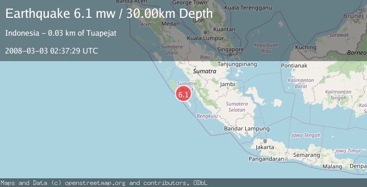
A 6.1 magnitude earthquake struck on KEP. MENTAWAI REGION, INDONESIA, at Mon, 03 Mar 2008 02:37:29 GMT. Depth: 30km. Reviewed by EMSC seismologists, this strong quake occurred at a magnitude type of mw.
Magnitude
6.1
mw
Source
EMSC
Intensity
-
Agency Reports
1 Sources| Source | Magnitude | Depth | Time |
|---|---|---|---|
| EMSCPrimary | 6.1 | 30 km | 17 years ago |
Earthquake Details
AutomaticEvent IDemsc_EMSC_20080303_0000060
Tsunami PotentialNo
Magnitude Typemw
Nearest Places
- Tanjung Kaikeruaru12.9 km
- Sungai Simatobe13.9 km
- Rokot Airport14.0 km
- Sungai Saurenu14.4 km
- Rokot14.4 km
Comments
Join the discussion about this event.
Latest Earthquakes
1.4Mag
Czech Republic
Time1 minute ago
Depth0.00 km
SourceVYT (Automatic)
2.1Mag
Tarapaca, Chile
Time7 minutes ago
Depth8.18 km
SourceVYT (Automatic)
1.4Mag
12 km ESE of Olancha, CA
Time8 minutes ago
Depth7.15 km
SourceUSGS (Automatic)
2.8Mag
northwestern Russia
Time9 minutes ago
Depth10.00 km
SourceVYT (Automatic)
3.3Mag
Near North Coast of West Papua
Time9 minutes ago
Depth10.00 km
SourceBMKG
Nearby Earthquakes
5.4Mag
KEP. MENTAWAI REGION, INDONESIA
Time18 years ago
Depth10.00 km
SourceEMSC (Automatic)
5.2Mag
KEP. MENTAWAI REGION, INDONESIA
Time17 years ago
Depth40.00 km
SourceEMSC (Automatic)
5.6Mag
KEP. MENTAWAI REGION, INDONESIA
Time18 years ago
Depth2.00 km
SourceEMSC (Automatic)
5.4Mag
KEP. MENTAWAI REGION, INDONESIA
Time17 years ago
Depth40.00 km
SourceEMSC (Automatic)
5.1Mag
KEP. MENTAWAI REGION, INDONESIA
Time17 years ago
Depth49.00 km
SourceEMSC (Automatic)