Earthquake Near North Coast of West Papua
Wed, 18 Feb 2026 10:39:07 GMT
Time1 hour ago
Location
-2.6286, 140.9429
Depth
10.0 KM
Event Summary
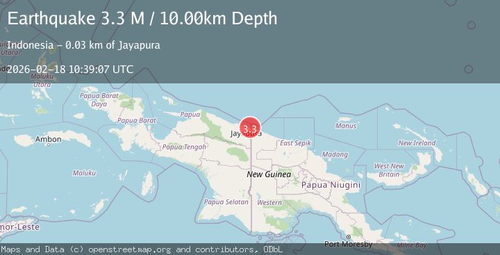
A 3.3 magnitude earthquake struck on Near North Coast of West Papua, at Wed, 18 Feb 2026 10:39:07 GMT. Depth: 10km. Reviewed by BMKG seismologists, this minor quake occurred at a magnitude type of M.
Magnitude
3.3
M
Source
BMKG
Intensity
-
Agency Reports
1 Sources| Source | Magnitude | Depth | Time |
|---|---|---|---|
| BMKGPrimary | 3.3 | 10 km | 1 hour ago |
Earthquake Details
ManualEvent IDbmg2026dknf
Tsunami PotentialNo
Magnitude TypeM
Nearest Places
- Gunung Nyari0.3 km
- Kampung Skouw Sae0.5 km
- Tanjung Germania2.5 km
- Moso River2.6 km
- Sungai Tami2.9 km
Comments
Join the discussion about this event.
Latest Earthquakes
2.1Mag
Tarapaca, Chile
Time1 hour ago
Depth8.18 km
SourceVYT (Automatic)
1.4Mag
12 km ESE of Olancha, CA
Time1 hour ago
Depth7.15 km
SourceUSGS (Automatic)
2.8Mag
northwestern Russia
Time1 hour ago
Depth10.00 km
SourceVYT (Automatic)
1.2Mag
5 km NNE of Fishhook, Alaska
Time1 hour ago
Depth0.80 km
SourceUSGS (Automatic)
2.0Mag
FRANCE
Time1 hour ago
Depth5.00 km
SourceReNaSS (Automatic)
Nearby Earthquakes
3.0Mag
NEAR N COAST OF PAPUA, INDONESIA
Time2 years ago
Depth18.00 km
SourceDJA (Automatic)
3.0Mag
NEAR N COAST OF PAPUA, INDONESIA
Time9 months ago
Depth10.00 km
SourceBMKG (Automatic)
2.5Mag
Near North Coast of Papua New Guinea
Time2 weeks ago
Depth13.56 km
SourceBMKG (Automatic)
3.0Mag
NEAR N COAST OF PAPUA, INDONESIA
Time8 months ago
Depth19.00 km
SourceBMKG (Automatic)
3.0Mag
NEAR N COAST OF PAPUA, INDONESIA
Time4 years ago
Depth20.00 km
SourceDJA (Automatic)