Earthquake EAST TIMOR REGION
Sat, 19 Apr 2008 16:27:33 GMT
Time17 years ago
Location
-8.0600, 125.6800
Depth
49.0 KM
Event Summary
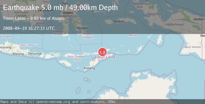
A 5.0 magnitude earthquake struck on EAST TIMOR REGION, at Sat, 19 Apr 2008 16:27:33 GMT. Depth: 49km. Reviewed by EMSC seismologists, this moderate quake occurred at a magnitude type of mb.
Magnitude
5.0
mb
Source
EMSC
Intensity
-
Agency Reports
1 Sources| Source | Magnitude | Depth | Time |
|---|---|---|---|
| EMSCPrimary | 5.0 | 49 km | 17 years ago |
Earthquake Details
AutomaticEvent IDemsc_EMSC_20080419_0000069
Tsunami PotentialNo
Magnitude Typemb
Nearest Places
- Pulau Liran Lighthouse6.2 km
- Desa Ustutun8.8 km
- Pulau Liran9.0 km
- Buku Bihaba9.1 km
- Atunaro9.4 km
Comments
Join the discussion about this event.
Latest Earthquakes
3.2Mag
Croatia region
Time8 minutes ago
Depth10.00 km
SourceVYT (Automatic)
3.6Mag
Serbia
Time9 minutes ago
Depth688.35 km
SourceVYT (Automatic)
2.0Mag
AZORES ISLANDS REGION
Time9 minutes ago
Depth10.40 km
SourcePDA (Automatic)
3.1Mag
NORTH ISLAND OF NEW ZEALAND
Time10 minutes ago
Depth204.40 km
SourceGNS (Automatic)
2.2Mag
Andreanof Islands, Aleutian Islands, Alaska
Time13 minutes ago
Depth130.98 km
SourceVYT (Automatic)
Nearby Earthquakes
5.5Mag
KEPULAUAN BARAT DAYA, INDONESIA
Time5 years ago
Depth30.00 km
SourceEMSC (Automatic)
6.0Mag
KEPULAUAN BARAT DAYA, INDONESIA
Time17 years ago
Depth16.00 km
SourceEMSC (Automatic)
5.6Mag
KEPULAUAN BARAT DAYA, INDONESIA
Time17 years ago
Depth20.00 km
SourceEMSC (Automatic)
5.3Mag
KEPULAUAN BARAT DAYA, INDONESIA
Time17 years ago
Depth24.00 km
SourceEMSC (Automatic)
5.9Mag
KEPULAUAN BARAT DAYA, INDONESIA
Time17 years ago
Depth10.00 km
SourceEMSC (Automatic)