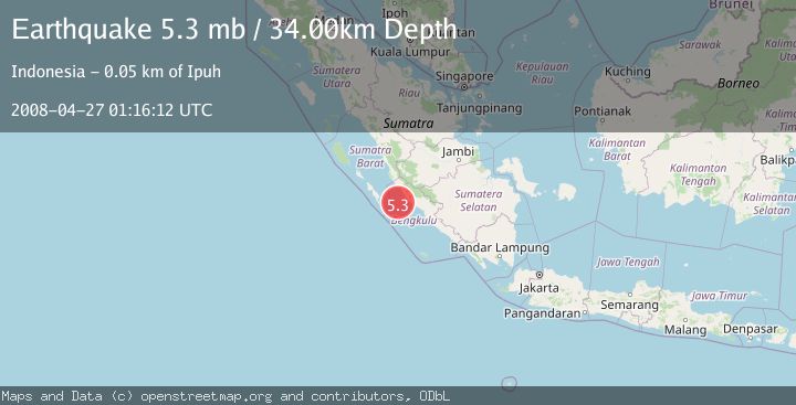
Earthquake SOUTHERN SUMATRA, INDONESIA
Sun, 27 Apr 2008 01:16:12 GMT
Time17 years ago
Location
-3.3300, 101.2100
Depth
34.0 KM
Event Summary
A 5.3 magnitude earthquake struck on SOUTHERN SUMATRA, INDONESIA, at Sun, 27 Apr 2008 01:16:12 GMT. Depth: 34km. Reviewed by EMSC seismologists, this moderate quake occurred at a magnitude type of mb.
Magnitude
5.3
mb
Source
EMSC
Intensity
-
Agency Reports
1 Sources| Source | Magnitude | Depth | Time |
|---|---|---|---|
| EMSCPrimary | 5.3 | 34 km | 17 years ago |
Earthquake Details
AutomaticEvent IDemsc_EMSC_20080427_0000043
Tsunami PotentialNo
Magnitude Typemb
Nearest Places
- Air Titir42.6 km
- Air Sabai42.8 km
- Sungai Romi43.3 km
- Airrami43.4 km
- Sungai Kalikut43.6 km
Comments
Join the discussion about this event.
Latest Earthquakes
1.4Mag
8 km N of Rancho Cucamonga, CA
Time16 hours ago
Depth3.48 km
SourceUSGS (Automatic)
2.7Mag
COQUIMBO, CHILE
Time17 hours ago
Depth47.60 km
SourceCSN (Automatic)
1.3Mag
17 km WSW of Johannesburg, CA
Time17 hours ago
Depth9.21 km
SourceUSGS (Automatic)
1.4Mag
16 km ESE of Stanton, Texas
Time17 hours ago
Depth4.00 km
SourceUSGS (Automatic)
2.0Mag
Flores Region, Indonesia
Time17 hours ago
Depth27.22 km
SourceBMKG
Nearby Earthquakes
5.1Mag
SOUTHERN SUMATRA, INDONESIA
Time7 months ago
Depth44.20 km
SourceEMSC (Automatic)
4.0Mag
SOUTHERN SUMATRA, INDONESIA
Time6 years ago
Depth75.00 km
SourceDJA (Automatic)
5.5Mag
SOUTHERN SUMATRA, INDONESIA
Time14 years ago
Depth48.00 km
SourceEMSC (Automatic)
5.7Mag
SOUTHERN SUMATRA, INDONESIA
Time14 years ago
Depth37.00 km
SourceEMSC (Automatic)
5.6Mag
SOUTHERN SUMATRA, INDONESIA
Time18 years ago
Depth22.00 km
SourceEMSC (Automatic)