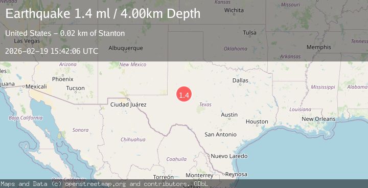
Earthquake 16 km ESE of Stanton, Texas
Thu, 19 Feb 2026 15:42:06 GMT
Time1 hour ago
Location
32.0840, -101.6180
Depth
4.0 KM
Event Summary
A 1.4 magnitude earthquake struck on 16 km ESE of Stanton, Texas, at Thu, 19 Feb 2026 15:42:06 GMT. Depth: 3.9952km. Reviewed by USGS seismologists, this minor quake occurred at a magnitude type of ml.
Magnitude
1.4
ml
Source
USGS
Intensity
-
Agency Reports
1 Sources| Source | Magnitude | Depth | Time |
|---|---|---|---|
| USGSPrimary | 1.4 | 4 km | 1 hour ago |
Earthquake Details
AutomaticEvent IDusgs_tx2026dnduzz
Tsunami PotentialNo
Magnitude Typeml
Nearest Places
- Hall Ranch1.3 km
- Windmill Number Three2.7 km
- East Well3.5 km
- Lomax4.2 km
- Windmill Number Two4.8 km
Comments
Join the discussion about this event.
Latest Earthquakes
1.7Mag
Tarapaca, Chile
Time59 minutes ago
Depth5.37 km
SourceVYT (Automatic)
2.1Mag
West Papua Region, Indonesia
Time1 hour ago
Depth10.00 km
SourceBMKG
3.6Mag
NORTH ISLAND OF NEW ZEALAND
Time1 hour ago
Depth43.10 km
SourceGNS (Automatic)
2.2Mag
Seram, Indonesia
Time1 hour ago
Depth4.61 km
SourceBMKG
0.7Mag
Southern Alaska
Time1 hour ago
Depth0.00 km
SourceVYT (Automatic)
Nearby Earthquakes
1.1Mag
15 km ESE of Stanton, Texas
Time6 days ago
Depth9.32 km
SourceUSGS (Automatic)
1.2Mag
17 km ESE of Stanton, Texas
Time1 week ago
Depth2.23 km
SourceUSGS (Automatic)
2.3Mag
WESTERN TEXAS
Time1 week ago
Depth3.80 km
SourceTX (Automatic)
1.6Mag
16 km E of Stanton, Texas
Time1 week ago
Depth3.74 km
SourceUSGS (Automatic)
2.1Mag
western Texas
Time5 days ago
Depth0.12 km
SourceVYT (Automatic)