Earthquake KEP. TANIMBAR REGION, INDONESIA
Mon, 19 May 2008 05:40:41 GMT
Time17 years ago
Location
-7.1900, 130.6600
Depth
53.0 KM
Event Summary
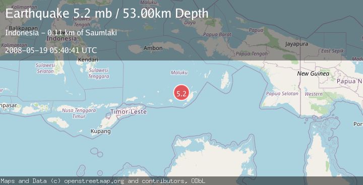
A 5.2 magnitude earthquake struck on KEP. TANIMBAR REGION, INDONESIA, at Mon, 19 May 2008 05:40:41 GMT. Depth: 53km. Reviewed by EMSC seismologists, this moderate quake occurred at a magnitude type of mb.
Magnitude
5.2
mb
Source
EMSC
Intensity
-
Agency Reports
1 Sources| Source | Magnitude | Depth | Time |
|---|---|---|---|
| EMSCPrimary | 5.2 | 53 km | 17 years ago |
Earthquake Details
AutomaticEvent IDemsc_EMSC_20080519_0000043
Tsunami PotentialNo
Magnitude Typemb
Nearest Places
- 38.0 km
- 44.7 km
- 47.9 km
- 49.1 km
- 49.9 km
Comments
Join the discussion about this event.
Latest Earthquakes
4.8Mag
offshore Coquimbo, Chile
Time16 hours ago
Depth0.24 km
SourceVYT (Automatic)
2.6Mag
Timor Region
Time16 hours ago
Depth134.66 km
SourceBMKG
3.5Mag
OFF E. COAST OF N. ISLAND, N.Z.
Time16 hours ago
Depth10.00 km
SourceGNS (Automatic)
2.7Mag
Tarapaca, Chile
Time16 hours ago
Depth93.63 km
SourceVYT (Automatic)
2.8Mag
STRAIT OF GIBRALTAR
Time16 hours ago
Depth63.10 km
SourceIGN (Automatic)
Nearby Earthquakes
3.9Mag
KEP. TANIMBAR REGION, INDONESIA
Time1 month ago
Depth55.00 km
SourceBMKG (Automatic)
4.0Mag
KEP. TANIMBAR REGION, INDONESIA
Time2 months ago
Depth164.00 km
SourceBMKG (Automatic)
5.0Mag
KEP. TANIMBAR REGION, INDONESIA
Time17 years ago
Depth107.00 km
SourceEMSC (Automatic)
5.0Mag
KEP. TANIMBAR REGION, INDONESIA
Time8 years ago
Depth52.00 km
SourceEMSC (Automatic)
4.1Mag
BANDA SEA
Time1 month ago
Depth121.00 km
SourceBMKG (Automatic)