Earthquake PHILIPPINE ISLANDS REGION
Tue, 16 Sep 2008 09:18:56 GMT
Time17 years ago
Location
5.9200, 127.1800
Depth
60.0 KM
Event Summary
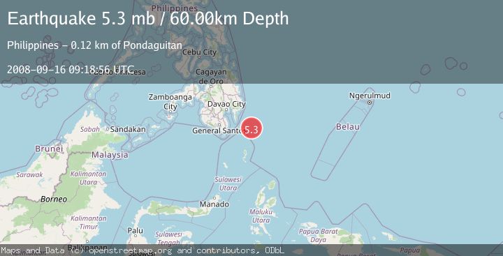
A 5.3 magnitude earthquake struck on PHILIPPINE ISLANDS REGION, at Tue, 16 Sep 2008 09:18:56 GMT. Depth: 60km. Reviewed by EMSC seismologists, this moderate quake occurred at a magnitude type of mb.
Magnitude
5.3
mb
Source
EMSC
Intensity
-
Agency Reports
1 Sources| Source | Magnitude | Depth | Time |
|---|---|---|---|
| EMSCPrimary | 5.3 | 60 km | 17 years ago |
Earthquake Details
AutomaticEvent IDemsc_EMSC_20080916_0000056
Tsunami PotentialNo
Magnitude Typemb
Nearest Places
- Tanjung Dapapa76.3 km
- Desa Pulau Miangas77.3 km
- Pulau Miangas77.3 km
- Kecamatan Miangas77.3 km
- Miangas78.1 km
Comments
Join the discussion about this event.
Latest Earthquakes
3.6Mag
Offshore Crete, Greece
Time5 minutes ago
Depth76.42 km
SourceVYT (Automatic)
1.8Mag
Southeastern Alaska
Time12 minutes ago
Depth0.49 km
SourceVYT (Automatic)
1.8Mag
British Columbia, Canada
Time13 minutes ago
Depth0.00 km
SourceVYT (Automatic)
2.0Mag
SAN FRANCISCO BAY AREA, CALIF.
Time13 minutes ago
Depth18.40 km
SourceNC (Automatic)
2.2Mag
Sumbawa Region, Indonesia
Time14 minutes ago
Depth176.31 km
SourceBMKG
Nearby Earthquakes
4.8Mag
PHILIPPINE ISLANDS REGION
Time1 month ago
Depth50.00 km
SourceEMSC (Automatic)
4.0Mag
PHILIPPINE ISLANDS REGION
Time3 years ago
Depth15.00 km
SourcePIVS (Automatic)
3.2Mag
PHILIPPINE ISLANDS REGION
Time3 weeks ago
Depth4.00 km
SourcePIVS (Automatic)
3.0Mag
PHILIPPINE ISLANDS REGION
Time4 years ago
Depth108.00 km
SourcePIVS (Automatic)
3.0Mag
PHILIPPINE ISLANDS REGION
Time4 years ago
Depth40.00 km
SourcePIVS (Automatic)