Earthquake SOUTHERN SUMATRA, INDONESIA
Thu, 01 Jan 2009 16:57:56 GMT
Time17 years ago
Location
-4.2700, 101.2700
Depth
40.0 KM
Event Summary
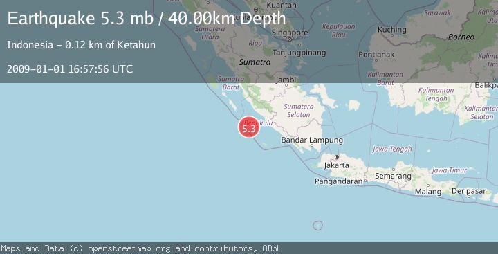
A 5.3 magnitude earthquake struck on SOUTHERN SUMATRA, INDONESIA, at Thu, 01 Jan 2009 16:57:56 GMT. Depth: 40km. Reviewed by EMSC seismologists, this moderate quake occurred at a magnitude type of mb.
Magnitude
5.3
mb
Source
EMSC
Intensity
-
Agency Reports
1 Sources| Source | Magnitude | Depth | Time |
|---|---|---|---|
| EMSCPrimary | 5.3 | 40 km | 17 years ago |
Earthquake Details
AutomaticEvent IDemsc_EMSC_20090101_0000059
Tsunami PotentialNo
Magnitude Typemb
Nearest Places
- Mentawai Trough39.4 km
- Pulau Mega39.9 km
- Lebar Reef109.1 km
- Pulau Tikus111.0 km
- Pulau Sanding112.0 km
Comments
Join the discussion about this event.
Latest Earthquakes
2.2Mag
Central Alaska
Time4 minutes ago
Depth0.00 km
SourceVYT (Automatic)
2.2Mag
Tarapaca, Chile
Time5 minutes ago
Depth88.01 km
SourceVYT (Automatic)
2.1Mag
Poland
Time5 minutes ago
Depth0.12 km
SourceVYT (Automatic)
1.1Mag
3 km WSW of Cobb, CA
Time7 minutes ago
Depth1.86 km
SourceUSGS (Automatic)
1.3Mag
Alaska Peninsula
Time8 minutes ago
Depth62.50 km
SourceVYT (Automatic)
Nearby Earthquakes
5.4Mag
SOUTHERN SUMATRA, INDONESIA
Time18 years ago
Depth40.00 km
SourceEMSC (Automatic)
5.3Mag
SOUTHERN SUMATRA, INDONESIA
Time18 years ago
Depth49.00 km
SourceEMSC (Automatic)
5.3Mag
SOUTHERN SUMATRA, INDONESIA
Time18 years ago
Depth40.00 km
SourceEMSC (Automatic)
5.1Mag
SOUTHERN SUMATRA, INDONESIA
Time18 years ago
Depth10.00 km
SourceEMSC (Automatic)
5.4Mag
SOUTHERN SUMATRA, INDONESIA
Time18 years ago
Depth35.00 km
SourceEMSC (Automatic)