Earthquake NEAR N COAST OF PAPUA, INDONESIA
Sat, 03 Jan 2009 19:53:23 GMT
Time17 years ago
Location
-0.5100, 133.4800
Depth
60.0 KM
Event Summary
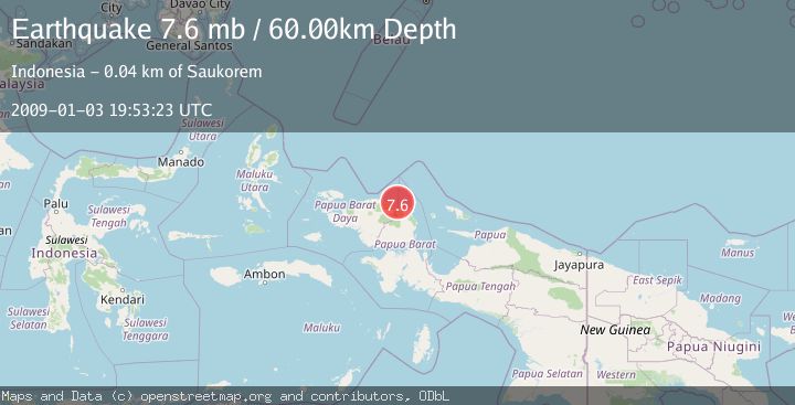
A 7.6 magnitude earthquake struck on NEAR N COAST OF PAPUA, INDONESIA, at Sat, 03 Jan 2009 19:53:23 GMT. Depth: 60km. Reviewed by EMSC seismologists, this major quake occurred at a magnitude type of mb.
Magnitude
7.6
mb
Source
EMSC
Intensity
-
Agency Reports
1 Sources| Source | Magnitude | Depth | Time |
|---|---|---|---|
| EMSCPrimary | 7.6 | 52 km | 17 years ago |
Earthquake Details
AutomaticEvent IDemsc_EMSC_20090103_0000098
Tsunami PotentialNo
Magnitude Typemb
Nearest Places
- Tanjung Sidei26.0 km
- Tanjung Boropen26.3 km
- Winusi26.6 km
- Sidei26.6 km
- Bariambekiri26.7 km
Comments
Join the discussion about this event.
Latest Earthquakes
2.0Mag
Kenai Peninsula, Alaska
Time1 minute ago
Depth72.27 km
SourceVYT (Automatic)
2.0Mag
Central Alaska
Time4 minutes ago
Depth216.92 km
SourceVYT (Automatic)
1.8Mag
Region Metropolitana, Chile
Time8 minutes ago
Depth14.89 km
SourceVYT (Automatic)
4.9Mag
Kepulauan Aru region, Indonesia
Time9 minutes ago
Depth0.00 km
SourceVYT (Automatic)
2.5Mag
Poland
Time9 minutes ago
Depth0.24 km
SourceVYT (Automatic)
Nearby Earthquakes
4.0Mag
NEAR N COAST OF PAPUA, INDONESIA
Time5 years ago
Depth10.00 km
SourceDJA (Automatic)
4.0Mag
NEAR N COAST OF PAPUA, INDONESIA
Time4 years ago
Depth103.00 km
SourceDJA (Automatic)
6.0Mag
NEAR N COAST OF PAPUA, INDONESIA
Time17 years ago
Depth30.00 km
SourceEMSC (Automatic)
5.0Mag
NEAR N COAST OF PAPUA, INDONESIA
Time17 years ago
Depth10.00 km
SourceEMSC (Automatic)
5.0Mag
NEAR N COAST OF PAPUA, INDONESIA
Time17 years ago
Depth10.00 km
SourceEMSC (Automatic)