Earthquake NEAR N COAST OF PAPUA, INDONESIA
Sun, 04 Jan 2009 01:55:23 GMT
Time17 years ago
Location
-0.7000, 133.6300
Depth
21.0 KM
Event Summary
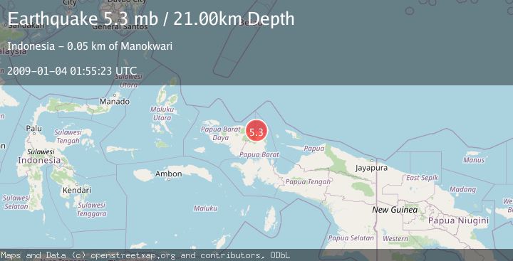
A 5.3 magnitude earthquake struck on NEAR N COAST OF PAPUA, INDONESIA, at Sun, 04 Jan 2009 01:55:23 GMT. Depth: 21km. Reviewed by EMSC seismologists, this moderate quake occurred at a magnitude type of mb.
Magnitude
5.3
mb
Source
EMSC
Intensity
-
Agency Reports
1 Sources| Source | Magnitude | Depth | Time |
|---|---|---|---|
| EMSCPrimary | 5.3 | 21 km | 17 years ago |
Earthquake Details
AutomaticEvent IDemsc_EMSC_20090104_0000091
Tsunami PotentialNo
Magnitude Typemb
Nearest Places
- Sungai Mangapi4.2 km
- Kampung Sidey5.8 km
- Tanjung Sidei6.2 km
- Tanjung Boropen6.3 km
- Kampung Muara Wariori6.4 km
Comments
Join the discussion about this event.
Latest Earthquakes
2.6Mag
western Texas
Time1 minute ago
Depth12.70 km
SourceVYT (Automatic)
1.0Mag
Southern Alaska
Time2 minutes ago
Depth1.34 km
SourceVYT (Automatic)
1.7Mag
Dead Sea region
Time4 minutes ago
Depth0.00 km
SourceVYT (Automatic)
2.0Mag
Java, Indonesia
Time5 minutes ago
Depth32.96 km
SourceBMKG
2.2Mag
Tarapaca, Chile
Time5 minutes ago
Depth120.73 km
SourceVYT (Automatic)
Nearby Earthquakes
5.0Mag
NEAR N COAST OF PAPUA, INDONESIA
Time17 years ago
Depth10.00 km
SourceEMSC (Automatic)
2.2Mag
West Papua Region, Indonesia
Time6 days ago
Depth45.90 km
SourceBMKG
3.0Mag
NEAR N COAST OF PAPUA, INDONESIA
Time4 years ago
Depth10.00 km
SourceDJA (Automatic)
6.0Mag
NEAR N COAST OF PAPUA, INDONESIA
Time17 years ago
Depth10.00 km
SourceEMSC (Automatic)
5.0Mag
NEAR N COAST OF PAPUA, INDONESIA
Time17 years ago
Depth40.00 km
SourceEMSC (Automatic)