Earthquake West Papua Region, Indonesia
Thu, 12 Feb 2026 22:36:55 GMT
Time6 days ago
Location
-0.7034, 133.5893
Depth
45.9 KM
Event Summary
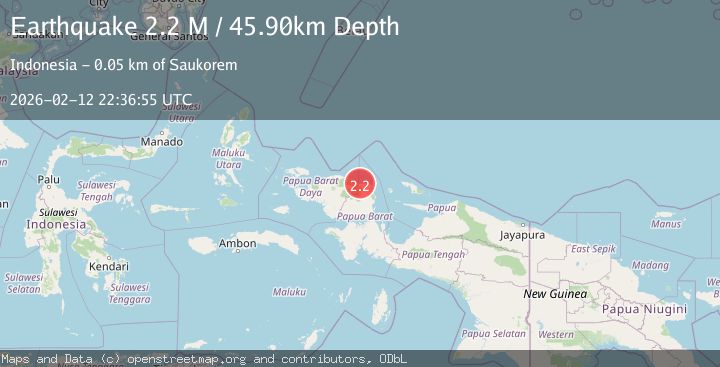
A 2.2 magnitude earthquake struck on West Papua Region, Indonesia, at Thu, 12 Feb 2026 22:36:55 GMT. Depth: 45.897163km. Reviewed by BMKG seismologists, this minor quake occurred at a magnitude type of M.
Magnitude
2.2
M
Source
BMKG
Intensity
-
Agency Reports
1 Sources| Source | Magnitude | Depth | Time |
|---|---|---|---|
| BMKGPrimary | 2.2 | 46 km | 6 days ago |
Earthquake Details
ManualEvent IDbmg2026dalx
Tsunami PotentialNo
Magnitude TypeM
Nearest Places
- Tanjung Sidei2.4 km
- Tanjung Boropen2.6 km
- Sidei3.3 km
- Kampung Sidey3.6 km
- Kaironi4.3 km
Comments
Join the discussion about this event.
Latest Earthquakes
2.1Mag
Tarapaca, Chile
Time22 hours ago
Depth8.18 km
SourceVYT (Automatic)
1.4Mag
12 km ESE of Olancha, CA
Time22 hours ago
Depth7.15 km
SourceUSGS (Automatic)
2.8Mag
northwestern Russia
Time22 hours ago
Depth10.00 km
SourceVYT (Automatic)
3.3Mag
Near North Coast of West Papua
Time22 hours ago
Depth10.00 km
SourceBMKG
1.2Mag
5 km NNE of Fishhook, Alaska
Time22 hours ago
Depth0.80 km
SourceUSGS (Automatic)
Nearby Earthquakes
5.2Mag
NEAR N COAST OF PAPUA, INDONESIA
Time3 years ago
Depth32.00 km
SourceEMSC (Automatic)
5.3Mag
NEAR N COAST OF PAPUA, INDONESIA
Time17 years ago
Depth21.00 km
SourceEMSC (Automatic)
6.0Mag
NEAR N COAST OF PAPUA, INDONESIA
Time17 years ago
Depth10.00 km
SourceEMSC (Automatic)
5.0Mag
NEAR N COAST OF PAPUA, INDONESIA
Time17 years ago
Depth10.00 km
SourceEMSC (Automatic)
5.0Mag
NEAR N COAST OF PAPUA, INDONESIA
Time17 years ago
Depth10.00 km
SourceEMSC (Automatic)