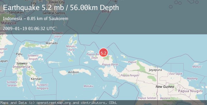
Earthquake NEAR N COAST OF PAPUA, INDONESIA
Mon, 19 Jan 2009 01:06:32 GMT
Time17 years ago
Location
-0.3200, 132.8000
Depth
56.0 KM
Event Summary
A 5.2 magnitude earthquake struck on NEAR N COAST OF PAPUA, INDONESIA, at Mon, 19 Jan 2009 01:06:32 GMT. Depth: 56km. Reviewed by EMSC seismologists, this moderate quake occurred at a magnitude type of mb.
Magnitude
5.2
mb
Source
EMSC
Intensity
-
Agency Reports
1 Sources| Source | Magnitude | Depth | Time |
|---|---|---|---|
| EMSCPrimary | 5.2 | 56 km | 17 years ago |
Earthquake Details
AutomaticEvent IDemsc_EMSC_20090119_0000059
Tsunami PotentialNo
Magnitude Typemb
Nearest Places
- Tanjung Wermon9.4 km
- Tanjung Saukorem10.2 km
- Tanjung Waios10.6 km
- Sungai Wermon10.9 km
- Sungai Wenyef13.3 km
Comments
Join the discussion about this event.
Latest Earthquakes
1.2Mag
Southern Alaska
Time1 hour ago
Depth37.11 km
SourceVYT (Automatic)
3.0Mag
Seram, Indonesia
Time1 hour ago
Depth12.36 km
SourceBMKG
1.1Mag
Washington
Time1 hour ago
Depth9.64 km
SourceVYT (Automatic)
1.3Mag
WESTERN TURKEY
Time1 hour ago
Depth8.60 km
SourceAFAD (Automatic)
1.9Mag
32 km NW of Toyah, Texas
Time1 hour ago
Depth4.09 km
SourceUSGS (Automatic)
Nearby Earthquakes
5.7Mag
NEAR N COAST OF PAPUA, INDONESIA
Time14 years ago
Depth15.00 km
SourceEMSC (Automatic)
3.0Mag
NEAR N COAST OF PAPUA, INDONESIA
Time4 years ago
Depth10.00 km
SourceDJA (Automatic)
3.0Mag
NEAR N COAST OF PAPUA, INDONESIA
Time2 years ago
Depth10.00 km
SourceBMKG (Automatic)
5.3Mag
NEAR N COAST OF PAPUA, INDONESIA
Time15 years ago
Depth10.00 km
SourceEMSC (Automatic)
4.0Mag
NEAR N COAST OF PAPUA, INDONESIA
Time2 years ago
Depth10.00 km
SourceDJA (Automatic)