Earthquake KEPULAUAN BARAT DAYA, INDONESIA
Thu, 22 Jan 2009 20:16:35 GMT
Time17 years ago
Location
-7.3400, 128.5600
Depth
149.0 KM
Event Summary
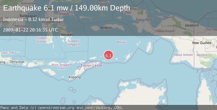
A 6.1 magnitude earthquake struck on KEPULAUAN BARAT DAYA, INDONESIA, at Thu, 22 Jan 2009 20:16:35 GMT. Depth: 149km. Reviewed by EMSC seismologists, this strong quake occurred at a magnitude type of mw.
Magnitude
6.1
mw
Source
EMSC
Intensity
-
Agency Reports
1 Sources| Source | Magnitude | Depth | Time |
|---|---|---|---|
| EMSCPrimary | 6.1 | 149 km | 17 years ago |
Earthquake Details
AutomaticEvent IDemsc_EMSC_20090122_0000094
Tsunami PotentialNo
Magnitude Typemw
Nearest Places
- Pulau Terbang Selatan3.3 km
- Pulau Terbang Utara4.8 km
- Tanjung Paran16.3 km
- Tanjung Watlewantutu17.2 km
- Desa Wulur18.4 km
Comments
Join the discussion about this event.
Latest Earthquakes
2.9Mag
Seram, Indonesia
Time8 minutes ago
Depth15.78 km
SourceBMKG
2.5Mag
Java, Indonesia
Time9 minutes ago
Depth115.38 km
SourceBMKG
1.4Mag
7 km NW of The Geysers, CA
Time13 minutes ago
Depth1.65 km
SourceUSGS (Automatic)
1.1Mag
7 km NE of San Jacinto, CA
Time18 minutes ago
Depth16.11 km
SourceUSGS (Automatic)
1.4Mag
CENTRAL TURKEY
Time24 minutes ago
Depth7.00 km
SourceAFAD (Automatic)
Nearby Earthquakes
3.6Mag
KEPULAUAN BARAT DAYA, INDONESIA
Time2 weeks ago
Depth172.00 km
SourceBMKG (Automatic)
5.6Mag
KEPULAUAN BARAT DAYA, INDONESIA
Time7 years ago
Depth162.00 km
SourceEMSC (Automatic)
5.4Mag
KEPULAUAN BARAT DAYA, INDONESIA
Time11 years ago
Depth122.00 km
SourceEMSC (Automatic)
4.0Mag
KEPULAUAN BARAT DAYA, INDONESIA
Time2 years ago
Depth158.00 km
SourceNEIC (Automatic)
4.1Mag
KEPULAUAN BARAT DAYA, INDONESIA
Time1 month ago
Depth221.00 km
SourceBMKG (Automatic)