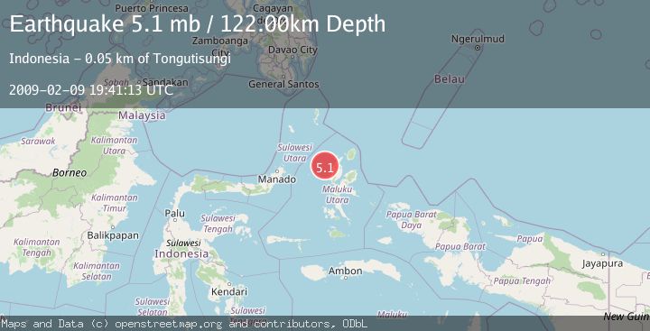
Earthquake HALMAHERA, INDONESIA
Mon, 09 Feb 2009 19:41:13 GMT
Time17 years ago
Location
1.7900, 127.2100
Depth
122.0 KM
Event Summary
A 5.1 magnitude earthquake struck on HALMAHERA, INDONESIA, at Mon, 09 Feb 2009 19:41:13 GMT. Depth: 122km. Reviewed by EMSC seismologists, this moderate quake occurred at a magnitude type of mb.
Magnitude
5.1
mb
Source
EMSC
Intensity
-
Agency Reports
1 Sources| Source | Magnitude | Depth | Time |
|---|---|---|---|
| EMSCPrimary | 5.1 | 122 km | 17 years ago |
Earthquake Details
AutomaticEvent IDemsc_EMSC_20090209_0000064
Tsunami PotentialNo
Magnitude Typemb
Nearest Places
- Nyi33.5 km
- Nusa Sidanga33.6 km
- Nusa Nyaolaka33.9 km
- Nusa Sosota34.3 km
- Kepulauan Loloda Selatan35.0 km
Comments
Join the discussion about this event.
Latest Earthquakes
1.7Mag
western Texas
Time4 minutes ago
Depth3.42 km
SourceVYT (Automatic)
3.5Mag
Seram, Indonesia
Time6 minutes ago
Depth0.00 km
SourceVYT (Automatic)
1.6Mag
54 km WNW of Toyah, Texas
Time11 minutes ago
Depth0.00 km
SourceUSGS (Automatic)
2.2Mag
West Papua Region, Indonesia
Time13 minutes ago
Depth26.69 km
SourceBMKG
1.2Mag
WESTERN TURKEY
Time14 minutes ago
Depth7.00 km
SourceAFAD (Automatic)
Nearby Earthquakes
3.0Mag
HALMAHERA, INDONESIA
Time2 years ago
Depth95.00 km
SourceDJA (Automatic)
3.0Mag
HALMAHERA, INDONESIA
Time3 years ago
Depth28.00 km
SourceDJA (Automatic)
5.5Mag
HALMAHERA, INDONESIA
Time3 years ago
Depth60.00 km
SourceEMSC (Automatic)
4.0Mag
HALMAHERA, INDONESIA
Time1 year ago
Depth94.00 km
SourceBMKG (Automatic)
3.2Mag
HALMAHERA, INDONESIA
Time1 month ago
Depth112.00 km
SourceBMKG (Automatic)