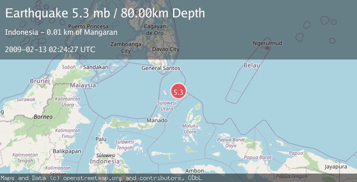
Earthquake KEPULAUAN TALAUD, INDONESIA
Fri, 13 Feb 2009 02:24:27 GMT
Time17 years ago
Location
3.7000, 126.7700
Depth
80.0 KM
Event Summary
A 5.3 magnitude earthquake struck on KEPULAUAN TALAUD, INDONESIA, at Fri, 13 Feb 2009 02:24:27 GMT. Depth: 80km. Reviewed by EMSC seismologists, this moderate quake occurred at a magnitude type of mb.
Magnitude
5.3
mb
Source
EMSC
Intensity
-
Agency Reports
1 Sources| Source | Magnitude | Depth | Time |
|---|---|---|---|
| EMSCPrimary | 5.3 | 80 km | 17 years ago |
Earthquake Details
AutomaticEvent IDemsc_EMSC_20090213_0000047
Tsunami PotentialNo
Magnitude Typemb
Nearest Places
- Tanjung Panii5.4 km
- Peret6.3 km
- Tanjung Pallo6.6 km
- Taduwale6.7 km
- Desa Peret6.7 km
Comments
Join the discussion about this event.
Latest Earthquakes
2.0Mag
Southern Alaska
Time6 minutes ago
Depth26.61 km
SourceVYT (Automatic)
2.8Mag
Central Alaska
Time11 minutes ago
Depth292.36 km
SourceVYT (Automatic)
1.0Mag
12 km ESE of Anza, CA
Time16 minutes ago
Depth18.49 km
SourceUSGS (Automatic)
3.2Mag
Molucca Sea
Time17 minutes ago
Depth0.12 km
SourceVYT (Automatic)
1.0Mag
33 km SE of Minto, Alaska
Time19 minutes ago
Depth8.60 km
SourceUSGS (Automatic)
Nearby Earthquakes
4.0Mag
KEPULAUAN TALAUD, INDONESIA
Time4 years ago
Depth41.00 km
SourceDJA (Automatic)
6.3Mag
KEPULAUAN TALAUD, INDONESIA
Time16 years ago
Depth52.00 km
SourceEMSC (Automatic)
5.0Mag
KEPULAUAN TALAUD, INDONESIA
Time1 year ago
Depth54.00 km
SourceEMSC (Automatic)
5.6Mag
KEPULAUAN TALAUD, INDONESIA
Time17 years ago
Depth53.00 km
SourceEMSC (Automatic)
5.0Mag
KEPULAUAN TALAUD, INDONESIA
Time9 years ago
Depth60.00 km
SourceEMSC (Automatic)