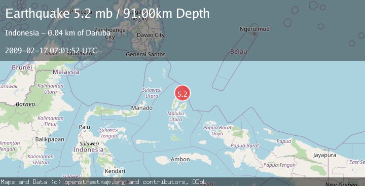
Earthquake HALMAHERA, INDONESIA
Tue, 17 Feb 2009 07:01:52 GMT
Time17 years ago
Location
2.4000, 128.3700
Depth
91.0 KM
Event Summary
A 5.2 magnitude earthquake struck on HALMAHERA, INDONESIA, at Tue, 17 Feb 2009 07:01:52 GMT. Depth: 91km. Reviewed by EMSC seismologists, this moderate quake occurred at a magnitude type of mb.
Magnitude
5.2
mb
Source
EMSC
Intensity
-
Agency Reports
1 Sources| Source | Magnitude | Depth | Time |
|---|---|---|---|
| EMSCPrimary | 5.2 | 91 km | 17 years ago |
Earthquake Details
AutomaticEvent IDemsc_EMSC_20090217_0000114
Tsunami PotentialNo
Magnitude Typemb
Nearest Places
- Desa Cio Dalam2.9 km
- Desa Cempaka4.0 km
- Pegunungan Wayabula6.1 km
- Pegunungan Ciu6.1 km
- Desa Cio Maloleo6.5 km
Comments
Join the discussion about this event.
Latest Earthquakes
1.9Mag
Central Alaska
Time3 minutes ago
Depth7.57 km
SourceVYT (Automatic)
1.5Mag
Central California
Time3 minutes ago
Depth0.00 km
SourceVYT (Automatic)
0.7Mag
Washington
Time4 minutes ago
Depth0.00 km
SourceVYT (Automatic)
2.8Mag
Antofagasta, Chile
Time8 minutes ago
Depth102.66 km
SourceVYT (Automatic)
2.8Mag
Minahassa Peninsula, Sulawesi
Time8 minutes ago
Depth11.18 km
SourceBMKG
Nearby Earthquakes
4.0Mag
HALMAHERA, INDONESIA
Time5 years ago
Depth222.00 km
SourceDJA (Automatic)
5.0Mag
HALMAHERA, INDONESIA
Time19 years ago
Depth40.00 km
SourceEMSC (Automatic)
4.0Mag
HALMAHERA, INDONESIA
Time1 year ago
Depth217.00 km
SourceBMKG (Automatic)
4.0Mag
HALMAHERA, INDONESIA
Time2 years ago
Depth209.00 km
SourceBMKG (Automatic)
4.0Mag
HALMAHERA, INDONESIA
Time2 years ago
Depth217.00 km
SourceDJA (Automatic)