Earthquake KEPULAUAN TALAUD, INDONESIA
Wed, 18 Feb 2009 11:44:15 GMT
Time17 years ago
Location
3.9200, 126.7900
Depth
47.0 KM
Event Summary
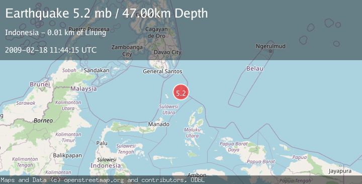
A 5.2 magnitude earthquake struck on KEPULAUAN TALAUD, INDONESIA, at Wed, 18 Feb 2009 11:44:15 GMT. Depth: 47km. Reviewed by EMSC seismologists, this moderate quake occurred at a magnitude type of mb.
Magnitude
5.2
mb
Source
EMSC
Intensity
-
Agency Reports
1 Sources| Source | Magnitude | Depth | Time |
|---|---|---|---|
| EMSCPrimary | 5.2 | 47 km | 17 years ago |
Earthquake Details
AutomaticEvent IDemsc_EMSC_20090218_0000110
Tsunami PotentialNo
Magnitude Typemb
Nearest Places
- Tanjung Sampo8.0 km
- Desa Moronge II8.1 km
- Desa Moronge I8.2 km
- Tanjung Pelet8.2 km
- Moronge8.5 km
Comments
Join the discussion about this event.
Latest Earthquakes
1.7Mag
STRAIT OF GIBRALTAR
Time10 minutes ago
Depth15.80 km
SourceIGN (Automatic)
3.2Mag
Croatia-Bosnia and Herzegovina border region
Time13 minutes ago
Depth63.84 km
SourceVYT (Automatic)
1.0Mag
Southern Alaska
Time18 minutes ago
Depth13.43 km
SourceVYT (Automatic)
2.7Mag
Southeastern Alaska
Time19 minutes ago
Depth138.92 km
SourceVYT (Automatic)
1.7Mag
8 km ENE of Calumet, Oklahoma
Time19 minutes ago
Depth6.03 km
SourceUSGS (Automatic)
Nearby Earthquakes
5.0Mag
KEPULAUAN TALAUD, INDONESIA
Time17 years ago
Depth86.00 km
SourceEMSC (Automatic)
3.0Mag
KEPULAUAN TALAUD, INDONESIA
Time5 months ago
Depth28.00 km
SourceBMKG (Automatic)
5.4Mag
KEPULAUAN TALAUD, INDONESIA
Time16 years ago
Depth60.00 km
SourceEMSC (Automatic)
4.0Mag
KEPULAUAN TALAUD, INDONESIA
Time5 years ago
Depth10.00 km
SourceDJA (Automatic)
5.1Mag
KEPULAUAN TALAUD, INDONESIA
Time11 years ago
Depth60.00 km
SourceEMSC (Automatic)