Earthquake ISLAND OF HAWAII, HAWAII
Tue, 14 Apr 2009 22:44:47 GMT
Time16 years ago
Location
19.3700, -155.3400
Depth
10.0 KM
Event Summary
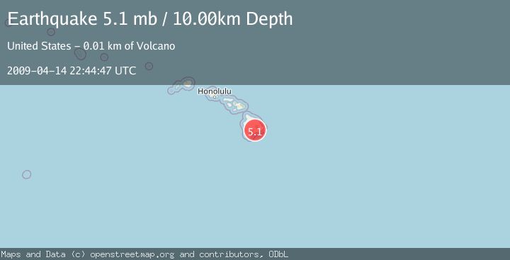
A 5.1 magnitude earthquake struck on ISLAND OF HAWAII, HAWAII, at Tue, 14 Apr 2009 22:44:47 GMT. Depth: 10km. Reviewed by EMSC seismologists, this moderate quake occurred at a magnitude type of mb.
Magnitude
5.1
mb
Source
EMSC
Intensity
-
Agency Reports
1 Sources| Source | Magnitude | Depth | Time |
|---|---|---|---|
| EMSCPrimary | 5.1 | 10 km | 16 years ago |
Earthquake Details
AutomaticEvent IDemsc_EMSC_20090414_0000106
Tsunami PotentialNo
Magnitude Typemb
Nearest Places
- Ka‘ū Desert Trail2.2 km
- Pu‘ukoa‘e2.5 km
- Mauna Iki Lava Shield2.7 km
- Footprints2.7 km
- Maunaiki2.8 km
Comments
Join the discussion about this event.
Latest Earthquakes
2.5Mag
Tarapaca, Chile
Time4 minutes ago
Depth112.55 km
SourceVYT (Automatic)
2.2Mag
Tarapaca, Chile
Time10 minutes ago
Depth111.94 km
SourceVYT (Automatic)
1.9Mag
Central Alaska
Time10 minutes ago
Depth32.10 km
SourceVYT (Automatic)
3.4Mag
HAWAII REGION, HAWAII
Time11 minutes ago
Depth4.70 km
SourceHV (Automatic)
1.9Mag
STRAIT OF GIBRALTAR
Time14 minutes ago
Depth0.00 km
SourceIGN (Automatic)
Nearby Earthquakes
2.4Mag
14 km SW of Volcano, Hawaii
Time3 weeks ago
Depth27.66 km
SourceUSGS (Automatic)
3.0Mag
ISLAND OF HAWAII, HAWAII
Time9 years ago
Depth27.00 km
SourceNEIR (Automatic)
4.0Mag
ISLAND OF HAWAII, HAWAII
Time2 years ago
Depth27.50 km
SourceHV (Automatic)
3.0Mag
ISLAND OF HAWAII, HAWAII
Time2 years ago
Depth3.70 km
SourceNEIC (Automatic)
3.0Mag
ISLAND OF HAWAII, HAWAII
Time2 years ago
Depth9.00 km
SourceNEIC (Automatic)