Earthquake MINDANAO, PHILIPPINES
Fri, 10 Jul 2009 20:52:51 GMT
Time16 years ago
Location
5.0700, 126.6900
Depth
40.0 KM
Event Summary
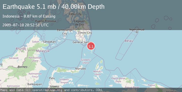
A 5.1 magnitude earthquake struck on MINDANAO, PHILIPPINES, at Fri, 10 Jul 2009 20:52:51 GMT. Depth: 40km. Reviewed by EMSC seismologists, this moderate quake occurred at a magnitude type of mb.
Magnitude
5.1
mb
Source
EMSC
Intensity
-
Agency Reports
1 Sources| Source | Magnitude | Depth | Time |
|---|---|---|---|
| EMSCPrimary | 5.1 | 40 km | 16 years ago |
Earthquake Details
AutomaticEvent IDemsc_EMSC_20090710_0000076
Tsunami PotentialNo
Magnitude Typemb
Nearest Places
- Pulau Garat51.0 km
- Pulau Baronto54.1 km
- Miangas54.9 km
- Napu Mamone55.4 km
- Sangihe Trough55.4 km
Comments
Join the discussion about this event.
Latest Earthquakes
4.5Mag
Central Alaska
Time1 minute ago
Depth7.81 km
SourceVYT (Automatic)
1.9Mag
1 km SSW of Pāhala, Hawaii
Time5 minutes ago
Depth28.47 km
SourceUSGS (Automatic)
1.5Mag
5 km NW of The Geysers, CA
Time6 minutes ago
Depth2.47 km
SourceUSGS (Automatic)
0.3Mag
10 km WNW of The Geysers, CA
Time8 minutes ago
Depth2.50 km
SourceUSGS (Automatic)
2.5Mag
Central Alaska
Time10 minutes ago
Depth112.55 km
SourceVYT (Automatic)
Nearby Earthquakes
3.0Mag
MINDANAO, PHILIPPINES
Time1 year ago
Depth34.00 km
SourcePIVS (Automatic)
3.0Mag
MINDANAO, PHILIPPINES
Time2 years ago
Depth35.00 km
SourcePIVS (Automatic)
3.0Mag
MINDANAO, PHILIPPINES
Time4 years ago
Depth15.00 km
SourcePIVS (Automatic)
5.4Mag
MINDANAO, PHILIPPINES
Time13 years ago
Depth80.00 km
SourceEMSC (Automatic)
4.0Mag
MINDANAO, PHILIPPINES
Time6 years ago
Depth78.00 km
SourcePIVS (Automatic)