Earthquake SOUTH OF SUMBAWA, INDONESIA
Fri, 31 Jul 2009 00:05:30 GMT
Time16 years ago
Location
-10.2100, 118.8500
Depth
60.0 KM
Event Summary
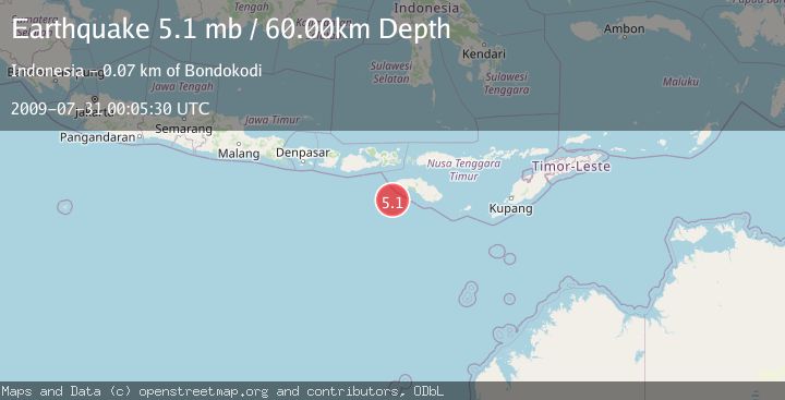
A 5.1 magnitude earthquake struck on SOUTH OF SUMBAWA, INDONESIA, at Fri, 31 Jul 2009 00:05:30 GMT. Depth: 60km. Reviewed by EMSC seismologists, this moderate quake occurred at a magnitude type of mb.
Magnitude
5.1
mb
Source
EMSC
Intensity
-
Agency Reports
1 Sources| Source | Magnitude | Depth | Time |
|---|---|---|---|
| EMSCPrimary | 5.1 | 60 km | 16 years ago |
Earthquake Details
AutomaticEvent IDemsc_EMSC_20090731_0000050
Tsunami PotentialNo
Magnitude Typemb
Nearest Places
- Tanjung Mareha61.0 km
- Tanjung Waikataku61.3 km
- Pulau Malondobara61.3 km
- Pulau Baholokmonegoro61.3 km
- Tanjung Rica61.3 km
Comments
Join the discussion about this event.
Latest Earthquakes
2.2Mag
Tarapaca, Chile
Time6 minutes ago
Depth111.94 km
SourceVYT (Automatic)
1.9Mag
Central Alaska
Time7 minutes ago
Depth32.10 km
SourceVYT (Automatic)
3.4Mag
HAWAII REGION, HAWAII
Time7 minutes ago
Depth4.70 km
SourceHV (Automatic)
1.9Mag
STRAIT OF GIBRALTAR
Time10 minutes ago
Depth0.00 km
SourceIGN (Automatic)
3.2Mag
Flores region, Indonesia
Time20 minutes ago
Depth20.02 km
SourceVYT (Automatic)
Nearby Earthquakes
2.6Mag
South of Sumbawa, Indonesia
Time1 week ago
Depth14.12 km
SourceBMKG (Automatic)
3.0Mag
SOUTH OF SUMBAWA, INDONESIA
Time2 months ago
Depth10.00 km
SourceBMKG (Automatic)
2.5Mag
SOUTH OF SUMBAWA, INDONESIA
Time1 month ago
Depth98.00 km
SourceBMKG (Automatic)
3.0Mag
SOUTH OF SUMBAWA, INDONESIA
Time3 years ago
Depth13.00 km
SourceDJA (Automatic)
4.0Mag
SOUTH OF SUMBAWA, INDONESIA
Time6 years ago
Depth10.00 km
SourceDJA (Automatic)