Earthquake PHILIPPINE ISLANDS REGION
Sun, 16 Aug 2009 17:29:44 GMT
Time16 years ago
Location
5.3000, 127.3300
Depth
148.0 KM
Event Summary
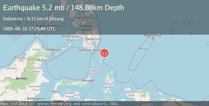
A 5.2 magnitude earthquake struck on PHILIPPINE ISLANDS REGION, at Sun, 16 Aug 2009 17:29:44 GMT. Depth: 148km. Reviewed by EMSC seismologists, this moderate quake occurred at a magnitude type of mb.
Magnitude
5.2
mb
Source
EMSC
Intensity
-
Agency Reports
1 Sources| Source | Magnitude | Depth | Time |
|---|---|---|---|
| EMSCPrimary | 5.2 | 148 km | 16 years ago |
Earthquake Details
AutomaticEvent IDemsc_EMSC_20090816_0000098
Tsunami PotentialNo
Magnitude Typemb
Nearest Places
- Pulau Garat63.2 km
- Desa Marampit64.1 km
- Desa Marampit Timur64.2 km
- Desa Dampulis64.6 km
- Kecamatan Nanusa64.9 km
Comments
Join the discussion about this event.
Latest Earthquakes
2.1Mag
WESTERN TEXAS
Time3 minutes ago
Depth6.60 km
SourceTX (Automatic)
2.7Mag
southern Sumatra, Indonesia
Time5 minutes ago
Depth7.08 km
SourceVYT (Automatic)
0.9Mag
Washington
Time6 minutes ago
Depth0.98 km
SourceVYT (Automatic)
2.5Mag
Tarapaca, Chile
Time8 minutes ago
Depth0.00 km
SourceVYT (Automatic)
1.1Mag
WESTERN TURKEY
Time9 minutes ago
Depth4.00 km
SourceAFAD (Automatic)
Nearby Earthquakes
3.0Mag
PHILIPPINE ISLANDS REGION
Time1 year ago
Depth35.00 km
SourcePIVS (Automatic)
3.0Mag
PHILIPPINE ISLANDS REGION
Time4 years ago
Depth108.00 km
SourcePIVS (Automatic)
5.0Mag
PHILIPPINE ISLANDS REGION
Time16 years ago
Depth143.00 km
SourceEMSC (Automatic)
5.0Mag
PHILIPPINE ISLANDS REGION
Time15 years ago
Depth117.00 km
SourceEMSC (Automatic)
5.1Mag
PHILIPPINE ISLANDS REGION
Time16 years ago
Depth118.00 km
SourceEMSC (Automatic)