Earthquake HALMAHERA, INDONESIA
Thu, 17 Sep 2009 04:52:27 GMT
Time16 years ago
Location
1.6300, 128.2500
Depth
94.0 KM
Event Summary
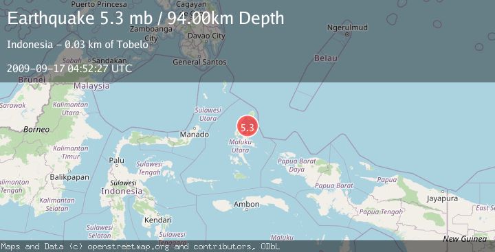
A 5.3 magnitude earthquake struck on HALMAHERA, INDONESIA, at Thu, 17 Sep 2009 04:52:27 GMT. Depth: 94km. Reviewed by EMSC seismologists, this moderate quake occurred at a magnitude type of mb.
Magnitude
5.3
mb
Source
EMSC
Intensity
-
Agency Reports
1 Sources| Source | Magnitude | Depth | Time |
|---|---|---|---|
| EMSCPrimary | 5.3 | 94 km | 16 years ago |
Earthquake Details
AutomaticEvent IDemsc_EMSC_20090917_0000037
Tsunami PotentialNo
Magnitude Typemb
Nearest Places
- Tanjung Buli19.6 km
- Teluk Buli20.8 km
- Ake Buli21.1 km
- Tanjung Tatam21.4 km
- Labilabi21.4 km
Comments
Join the discussion about this event.
Latest Earthquakes
2.8Mag
Sulawesi, Indonesia
Time2 minutes ago
Depth21.08 km
SourceBMKG
2.1Mag
WESTERN TURKEY
Time7 minutes ago
Depth12.30 km
SourceKOERI (Automatic)
2.2Mag
Alaska Peninsula
Time7 minutes ago
Depth57.74 km
SourceVYT (Automatic)
3.7Mag
WESTERN TURKEY
Time9 minutes ago
Depth13.30 km
SourceKOERI (Automatic)
1.6Mag
27 km ESE of Balmorhea, Texas
Time10 minutes ago
Depth3.56 km
SourceUSGS (Automatic)
Nearby Earthquakes
5.1Mag
HALMAHERA, INDONESIA
Time3 years ago
Depth10.00 km
SourceEMSC (Automatic)
5.0Mag
HALMAHERA, INDONESIA
Time3 years ago
Depth80.00 km
SourceEMSC (Automatic)
5.2Mag
HALMAHERA, INDONESIA
Time5 years ago
Depth10.00 km
SourceEMSC (Automatic)
2.9Mag
HALMAHERA, INDONESIA
Time1 month ago
Depth7.00 km
SourceBMKG (Automatic)
3.8Mag
HALMAHERA, INDONESIA
Time1 month ago
Depth5.00 km
SourceBMKG (Automatic)