Earthquake MOLUCCA SEA
Tue, 01 Dec 2009 20:32:04 GMT
Time16 years ago
Location
2.9400, 126.8900
Depth
30.0 KM
Event Summary
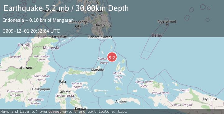
A 5.2 magnitude earthquake struck on MOLUCCA SEA, at Tue, 01 Dec 2009 20:32:04 GMT. Depth: 30km. Reviewed by EMSC seismologists, this moderate quake occurred at a magnitude type of mb.
Magnitude
5.2
mb
Source
EMSC
Intensity
-
Agency Reports
1 Sources| Source | Magnitude | Depth | Time |
|---|---|---|---|
| EMSCPrimary | 5.2 | 30 km | 16 years ago |
Earthquake Details
AutomaticEvent IDemsc_EMSC_20091201_0000029
Tsunami PotentialNo
Magnitude Typemb
Nearest Places
- Pulau Napumbalu77.8 km
- Pulau Karis78.7 km
- Tanjung Pallo88.0 km
- Taduwale89.1 km
- Tanjung Tatimbalangan89.2 km
Comments
Join the discussion about this event.
Latest Earthquakes
2.0Mag
Kenai Peninsula, Alaska
Time1 minute ago
Depth72.27 km
SourceVYT (Automatic)
2.0Mag
Central Alaska
Time4 minutes ago
Depth216.92 km
SourceVYT (Automatic)
1.8Mag
Region Metropolitana, Chile
Time8 minutes ago
Depth14.89 km
SourceVYT (Automatic)
4.9Mag
Kepulauan Aru region, Indonesia
Time9 minutes ago
Depth0.00 km
SourceVYT (Automatic)
2.5Mag
Poland
Time9 minutes ago
Depth0.24 km
SourceVYT (Automatic)
Nearby Earthquakes
4.0Mag
MOLUCCA SEA
Time6 years ago
Depth11.00 km
SourceDJA (Automatic)
4.0Mag
MOLUCCA SEA
Time3 years ago
Depth35.00 km
SourceNEIC (Automatic)
5.0Mag
MOLUCCA SEA
Time8 years ago
Depth40.00 km
SourceEMSC (Automatic)
5.3Mag
MOLUCCA SEA
Time20 years ago
Depth20.00 km
SourceEMSC (Automatic)
5.1Mag
MOLUCCA SEA
Time3 years ago
Depth20.00 km
SourceEMSC (Automatic)