Earthquake KEPULAUAN BABAR, INDONESIA
Wed, 23 Dec 2009 21:37:14 GMT
Time16 years ago
Location
-7.0300, 129.9300
Depth
116.0 KM
Event Summary
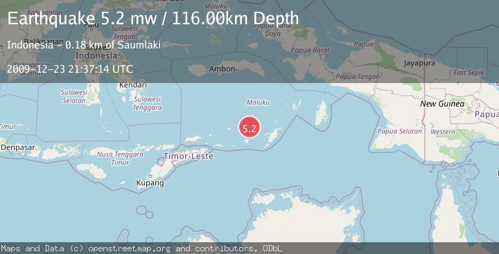
A 5.2 magnitude earthquake struck on KEPULAUAN BABAR, INDONESIA, at Wed, 23 Dec 2009 21:37:14 GMT. Depth: 116km. Reviewed by EMSC seismologists, this moderate quake occurred at a magnitude type of mw.
Magnitude
5.2
mw
Source
EMSC
Intensity
-
Agency Reports
1 Sources| Source | Magnitude | Depth | Time |
|---|---|---|---|
| EMSCPrimary | 5.2 | 116 km | 16 years ago |
Earthquake Details
AutomaticEvent IDemsc_EMSC_20091223_0000052
Tsunami PotentialNo
Magnitude Typemw
Nearest Places
- Nil Desperandum49.2 km
- Damar Ridge52.3 km
- Tanjung Sifanandrierna55.1 km
- Rumadai55.5 km
- Wotai56.2 km
Comments
Join the discussion about this event.
Latest Earthquakes
2.0Mag
Kenai Peninsula, Alaska
Time59 seconds ago
Depth72.27 km
SourceVYT (Automatic)
2.0Mag
Central Alaska
Time4 minutes ago
Depth216.92 km
SourceVYT (Automatic)
1.8Mag
Region Metropolitana, Chile
Time8 minutes ago
Depth14.89 km
SourceVYT (Automatic)
4.9Mag
Kepulauan Aru region, Indonesia
Time9 minutes ago
Depth0.00 km
SourceVYT (Automatic)
2.5Mag
Poland
Time9 minutes ago
Depth0.24 km
SourceVYT (Automatic)
Nearby Earthquakes
5.0Mag
KEPULAUAN BABAR, INDONESIA
Time10 years ago
Depth141.00 km
SourceEMSC (Automatic)
3.6Mag
KEPULAUAN BABAR, INDONESIA
Time1 month ago
Depth162.00 km
SourceBMKG (Automatic)
5.0Mag
KEPULAUAN BABAR, INDONESIA
Time3 years ago
Depth134.00 km
SourceEMSC (Automatic)
5.0Mag
KEPULAUAN BABAR, INDONESIA
Time2 years ago
Depth120.00 km
SourceEMSC (Automatic)
5.3Mag
KEPULAUAN BABAR, INDONESIA
Time1 year ago
Depth105.00 km
SourceEMSC (Automatic)